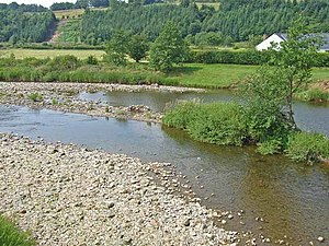
Template:FP-Liddesdale
 |
LiddesdaleLiddesdale is the valley of the Liddel Water in Roxburghshire. It contains the greater part of the villages of the county east of the Tweed watershed, extending in a south-westerly direction from the vicinity of Peel Fell to the River Esk, a distance of 21 miles. The Waverley route of the North British Railway runs down the dale, and the Catrail, or Picts' Dyke, crosses its head. Before the Union of the Crowns, Liddesdale was a lawless hide-out for the most notorious of the reiver families, amongst them the Armstrongs and Elliots. The points of vantage on the river and its affluents were occupied with reivers' peel towers. Many of them have disappeared and the remainder are in decay though Hollows Tower, Johnnie Armstrong's peel, about four miles south of Langholm, stands testament to the unquiet days. (Read more) |