Staverton, Gloucestershire
| Staverton | |
| Gloucestershire | |
|---|---|

| |
| Location | |
| Grid reference: | SO891224 |
| Location: | 51°54’1"N, 2°9’35"W |
| Data | |
| Local Government | |
| Council: | Tewkesbury |
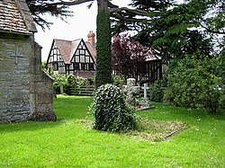
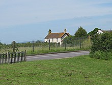
Staverton is a village in Gloucestershire standing the narrow gap between the city of Gloucester and the town of Cheltenham. The population at the 2011 census was 572.
This is the location of Gloucestershire Airport, which was previously called Staverton Airport and RAF Staverton.[1] It is the home of the Dowty Rotol and Messier-Dowty aircraft components factories.[2] The airport is the largest general aviation airfield in South West England.

Outside links
| ("Wikimedia Commons" has material about Staverton, Gloucestershire) |
References
- ↑ "Airport History". Gloucestershire Airport. https://www.gloucestershireairport.co.uk/the-airport-history/. Retrieved 29 October 2019.
- ↑ "Gloucestershire Propellers". Gloucestershire Transport. https://glostransporthistory.visit-gloucestershire.co.uk/GlosProp.htm. Retrieved 29 October 2019.
