Template:FP-Binevenagh
 |
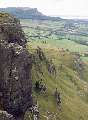
BinevenaghBinevenagh is a hill in County Londonderry which marks the western extent of the Antrim Plateau formed around 60 million years ago by molten lava. The plateau and steep cliffs extend for over 6 miles across the peninsula of Magilligan and dominating the skyline over the villages of Bellarena, Downhill, Castlerock and Benone beach. The Bishops Road, named after Frederick Hervey, 4th Earl of Bristol and Bishop of Derry, extends across the plateau. Notable features include the Mussenden Temple and a cliff top viewing area on the Bishops Road giving good views over Lough Foyle and County Donegal. (Read more) |