Template:FP-Caher
 |
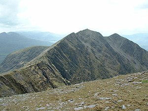
CaherCaher is mountain in County Kerry, within Ireland's highest range, MacGillycuddy's Reeks. A bleak, sharp hill, Caher's summit reaches a height of 3,284 feet. Caher stands to the southwest of Carrauntoohil, the one mountain in the Reeks which exceeds it in height. Romance insists that the mountain is Cathair na Féinne, meaning "stone fort of the Fianna" though sober scholarship may demur. (Read more) |