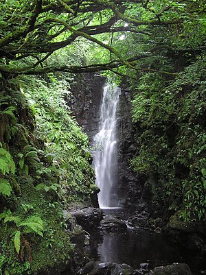
Cranny Falls
| Cranny Falls | |
| County Antrim | |
|---|---|
 The Cranny Falls | |
| River: | Carnlough River |
| D27091844 | |
| Co-ordinates: | 54°59’51"N, 6°-0’52"W |
Cranny Falls are a little waterfall of renowned beauty above Carnlough on the east coast of County Antrim. The waterfall brings the stream of the Carnlough River in a long plunge down from the Antrim Hills.
The falls can be reached from Carnlough village on a gently climbing path of just over a mile which path follows the route of what was the Carnlough Mineral Railway which once brought limestone from a quarry in the hills down to Carnlough, over the main road to the harbour. (The railway's bridge over the main road is part of the path.)
Harsh and wet as the moor above the town may be, the Cranny Falls provide a sheltered, damp nook encouraging plants and insects.
Outsde links
- Cranny Falls on Discover NI
- Cranny Falls on Walk NI