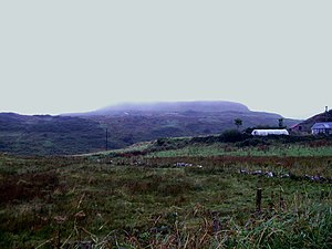
Kilpatrick, Rathlin Island
| Kilpatrick | |||
| County Antrim | |||
|---|---|---|---|
 Kilpatrick in the mist | |||
| Rathlin Island | |||
| Summit: | 440 feet D137519 55°18’4"N, 6°12’37"W | ||
Kilpatrick of Slieveard is the highest hill on Rathlin Island, with a summit of just 440 feet above sea level. It is a high, flat upland in the midst of the little island, overlooking the north and south coasts, a short walk north-west of the island's sole village, Church Bay
There is a waymarked trail to the top.
A small windfarm of just three turbines was built on the hill, but has been abandoned.