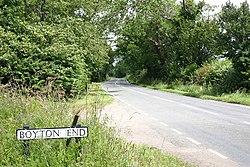
Boyton End, Essex
| Boyton End | |
| Essex | |
|---|---|
 Entering Boyton End | |
| Location | |
| Grid reference: | TL621325 |
| Location: | 51°58’4"N, -0°21’30"E |
| Data | |
| Postcode: | CM6 |
| Local Government | |
| Council: | Uttlesford |
Boyton End is a hamlet in north-eastern Essex, abot one mile north-east of Thaxted on the B1051 road towards Great Sampford.