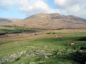
Slieve Muck
| Slieve Muck | |||
| County Down | |||
|---|---|---|---|
 The southern slopes of Slieve Muck | |||
| Range: | Mourne Mountains | ||
| Summit: | 2,211 feet J282250 | ||
Slieve Muck is one of the Mourne Mountains in County Down.
It rises to a summit at 2,211 feet, which summit overlooks Spelga Dam and the Deer's Meadow, the source of the River Bann.