Template:FP-Ystradfellte: Difference between revisions
Jump to navigation
Jump to search
Created page with "{{#switch:{{{1}}} |pic=Sgwd yr Eira in full flow - geograph.org.uk - 70398.jpg |cap=Sgwd yr Eira near Ystradfellte, Brecknockshire |text='''Ystradfellte''' is a small village..." |
No edit summary |
||
| Line 2: | Line 2: | ||
|pic=Sgwd yr Eira in full flow - geograph.org.uk - 70398.jpg | |pic=Sgwd yr Eira in full flow - geograph.org.uk - 70398.jpg | ||
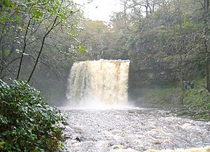
|cap=Sgwd yr Eira near Ystradfellte, Brecknockshire | |cap=Sgwd yr Eira near Ystradfellte, Brecknockshire | ||
|text='''Ystradfellte''' is a small village in southern Brecknockshire, in the valley of the Rive Mellte which gives its name, in the Fforest Fawr area of the Brecon Beacons National Park. | |text='''Ystradfellte''' is a small village in southern [[Brecknockshire]], in the valley of the Rive Mellte which gives its name, in the Fforest Fawr area of the Brecon Beacons National Park. | ||
The village is a popular centre for tourists, many of whom come for the hillwalking or to visit the waterfalls and caves of the river.}}<noinclude>{{ | The village is a popular centre for tourists, many of whom come for the hillwalking or to visit the waterfalls and caves of the river.}}<noinclude>{{FP data}} | ||
Latest revision as of 14:02, 8 May 2021
 |
YstradfellteYstradfellte is a small village in southern Brecknockshire, in the valley of the Rive Mellte which gives its name, in the Fforest Fawr area of the Brecon Beacons National Park. The village is a popular centre for tourists, many of whom come for the hillwalking or to visit the waterfalls and caves of the river. (Read more) |