File:WideningM50.JPG
Jump to navigation
Jump to search

Size of this preview: 800 × 533 pixels. Other resolutions: 320 × 213 pixels | 640 × 427 pixels | 1,024 × 683 pixels | 1,280 × 853 pixels | 2,560 × 1,707 pixels | 3,888 × 2,592 pixels.
Original file (3,888 × 2,592 pixels, file size: 2.09 MB, MIME type: image/jpeg)
Summary
| Description |
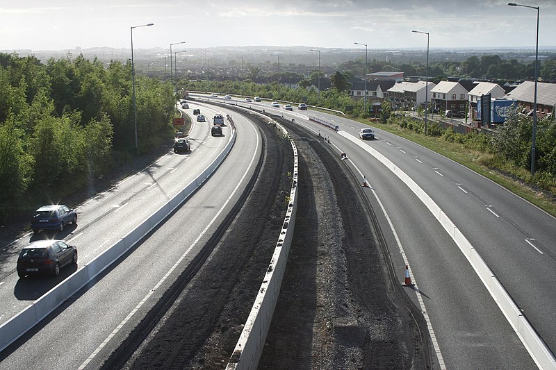
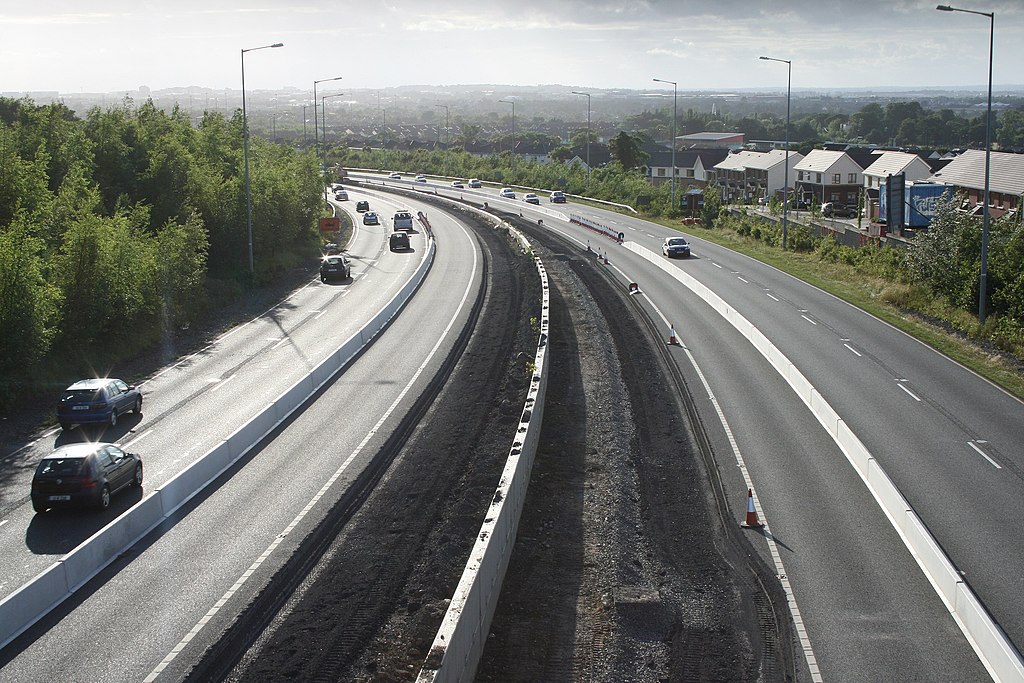
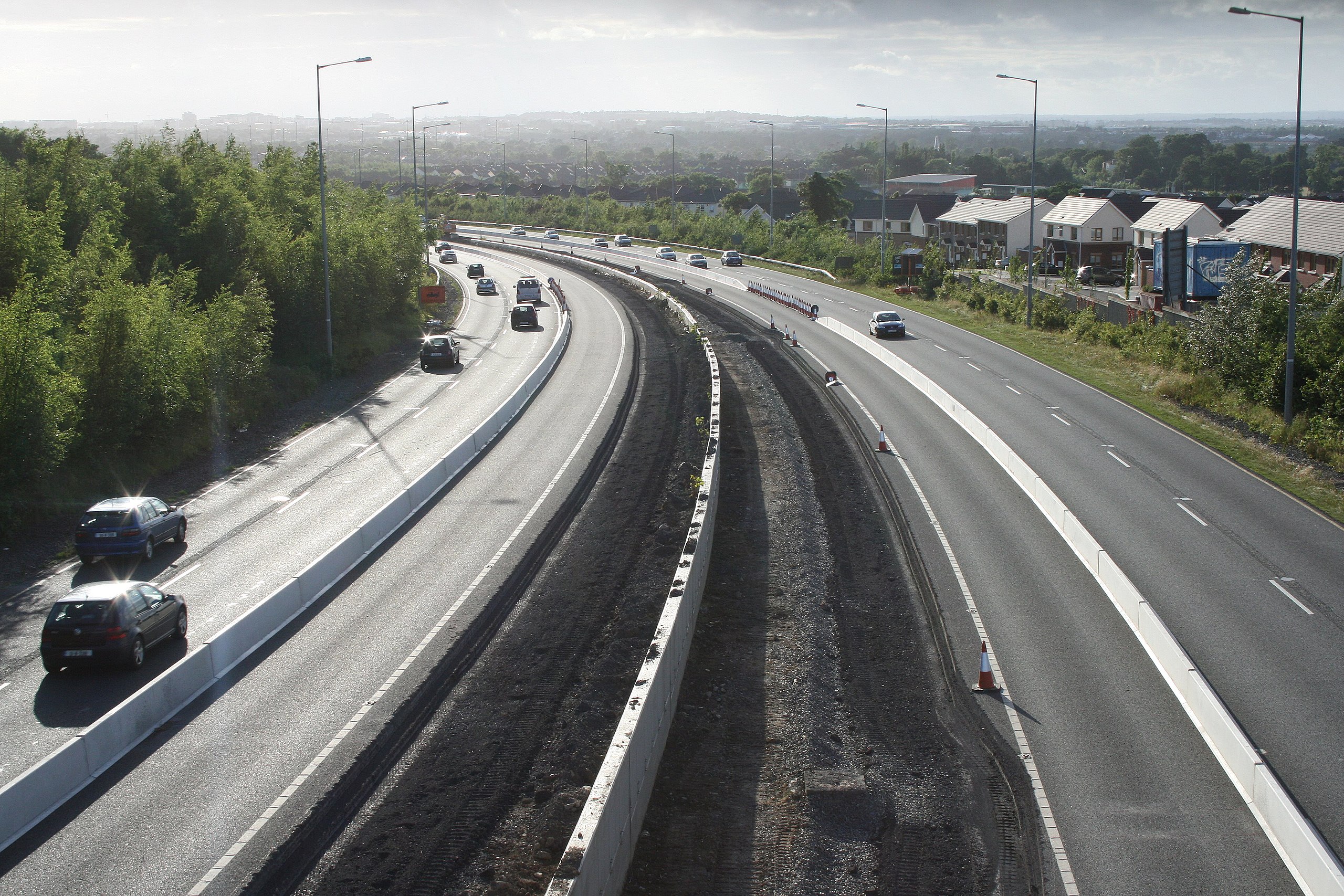
English: M50 widening from Stocking Lane overbridge looking West (northbound). |
| Date | |
| Source | Own work |
| Author | Sarah777 (talk · contribs) |
| Other versions |
| Camera location | | View this and other nearby images on: OpenStreetMap |
|---|
_heading:292.00&language=en)
| Object location | | View this and other nearby images on: OpenStreetMap |
|---|
_heading:292.00&language=en)
Licensing
| I, the copyright holder of this work, release this work into the public domain. This applies worldwide. In some countries this may not be legally possible; if so: I grant anyone the right to use this work for any purpose, without any conditions, unless such conditions are required by law. |
File history
Click on a date/time to view the file as it appeared at that time.
| Date/Time | Thumbnail | Dimensions | User | Comment | |
|---|---|---|---|---|---|
| current | 13:07, 30 June 2008 | | 3,888 × 2,592 (2.09 MB) | shared>Sarah777 | {{Information |Description={{en|1=M50 widening from Stocking Lane overbridge looking West (northbound) Category:County Dublin}} |Source=self |Author=Sarah777 |Date=29 June 2008 |Permission= |other_versions= }} {{ImageUpload|full}} |
File usage
The following page uses this file: