File:White Dyke Sewer.jpg
Jump to navigation
Jump to search

Size of this preview: 450 × 600 pixels. Other resolutions: 180 × 240 pixels | 360 × 480 pixels | 768 × 1,024 pixels.
Original file (768 × 1,024 pixels, file size: 145 KB, MIME type: image/jpeg)
File history
Click on a date/time to view the file as it appeared at that time.
| Date/Time | Thumbnail | Dimensions | User | Comment | |
|---|---|---|---|---|---|
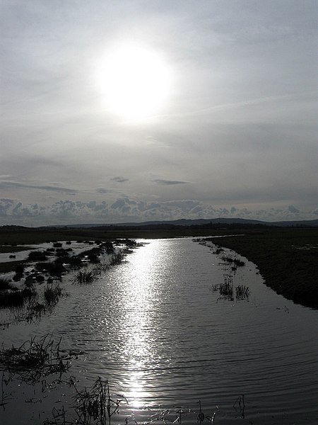
| current | 23:35, 6 November 2022 |  | 768 × 1,024 (145 KB) | shared>LunaEatsTuna | {{Information |Description=A minor drain for the north and western parts of Down Level. The South Downs can be seen in the distance. |Source=[https://www.geograph.org.uk/photo/1689807 geograph.org.uk] |Date=2010-01-31 |author=[https://www.geograph.org.uk/profile/1833 Simon Carey] |Permission= |other_versions= |Other fields={{Credit line |Author=Simon Carey |License=[https://creativecommons.org/licenses/by-sa/2.0/ CC BY-SA 2.0] |Other=''White Dyke Sewer'' }} }} Category:Pevensey Levels |
File usage
The following page uses this file:
