File:Wfm rathlin.jpg
From Wikishire

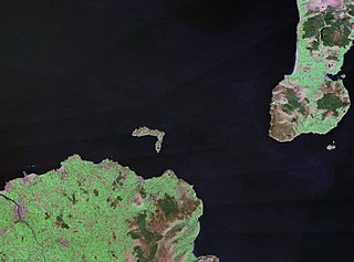
Size of this preview: 800 × 593 pixels. Other resolution: 320 × 237 pixels.
Original file (1,280 × 948 pixels, file size: 216 KB, MIME type: image/jpeg)
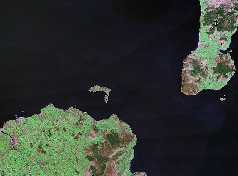
| Description | Rathlin Island in Northern Ireland. The coast of County Antrim is to the south, and the tip of the Kintyre Peninsula is to the east. |
| Date | circa 1990 |
| Source |
NASA World Wind (landsat geocover 1990 data) Original image obtained fron NASA World Wind, colour and saturation tweaked with Adobe Photoshop. |
| Author | NASA |
| Permission (Reusing this file) |
USgov-PD |
| This image is in the public domain because it is a screenshot from NASA’s globe software World Wind using a public domain layer, such as Blue Marble, MODIS, Landsat, SRTM, USGS or GLOBE.
|
 |
File history
Click on a date/time to view the file as it appeared at that time.
| Date/Time | Thumbnail | Dimensions | User | Comment | |
|---|---|---|---|---|---|
| current | 22:30, 24 April 2006 | | 1,280 × 948 (216 KB) | Finlay McWalter | {{Information| |Description=Rathlin Island |Source=NASA World Wind (landsat geocover 1990 data) |Date=c. 1990 |Author=NASA |Permission={{PD-WorldWind}} |other_versions= }} |
File usage
The following file is a duplicate of this file (more details):
- File:Wfm rathlin.jpg from a shared repository
The following page links to this file: