File:Wfm loch leven.png
From Wikishire
Size of this preview: 800 × 593 pixels. Other resolution: 320 × 237 pixels.
Original file (1,280 × 948 pixels, file size: 2.37 MB, MIME type: image/png)
| Description |
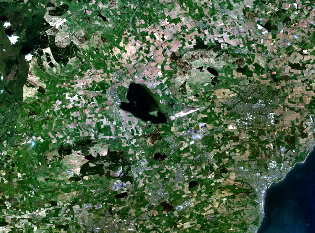
Loch Leven and central Fife in Scotland. Kirkcaldy is visible on the coast to the southeast, Glenrothes to the east, and part of Dunfermline to the south. The M90 motorway runs to the west, through Kinross and past Milnathort. |
|||
| Date | Unknown date (montage of various photgraphs) | |||
| Source | NASA World Wind | |||
| Author | NASA Landsat | |||
| Permission (Reusing this file) |
|

File history
Click on a date/time to view the file as it appeared at that time.
| Date/Time | Thumbnail | Dimensions | User | Comment | |
|---|---|---|---|---|---|
| current | 17:37, 16 April 2006 | | 1,280 × 948 (2.37 MB) | Finlay McWalter | {{Information| |Description=Loch Leven and western Fife in Scotland |Source=NASA World Wind |Date=unknown (montage of various photgraphs) |Author=NASA Landsat |Permission={{PD-WorldWind}} |other_versions= }} |
File usage
The following file is a duplicate of this file (more details):
- File:Wfm loch leven.png from a shared repository
The following page links to this file: