File:Wfm lewis landsat.jpg
From Wikishire

Size of this preview: 444 × 599 pixels. Other resolution: 178 × 240 pixels.
Original file (948 × 1,280 pixels, file size: 137 KB, MIME type: image/jpeg)
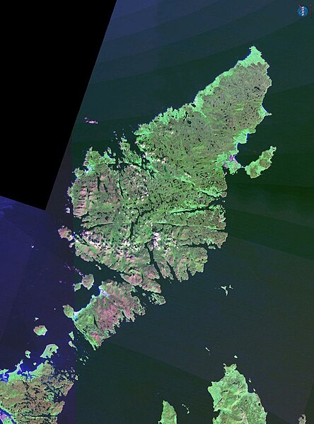
The Isle of Lewis in Scotland.
NASA Landsat 7 image. Final image made using NASA World Wind.
| This image is in the public domain because it is a screenshot from NASA’s globe software World Wind using a public domain layer, such as Blue Marble, MODIS, Landsat, SRTM, USGS or GLOBE.
|
 |
File history
Click on a date/time to view the file as it appeared at that time.
| Date/Time | Thumbnail | Dimensions | User | Comment | |
|---|---|---|---|---|---|
| current | 18:02, 21 October 2006 | | 948 × 1,280 (137 KB) | Finlay McWalter | The Isle of Lewis in Scotland. NASA Landsat 7 image. Final image made using NASA World Wind. {{PD-WorldWind}} category:Scotland |
File usage
The following file is a duplicate of this file (more details):
- File:Wfm lewis landsat.jpg from a shared repository
The following page links to this file: