File:Upper lough erne.jpg
From Wikishire
No higher resolution available.
Upper_lough_erne.jpg (640 × 411 pixels, file size: 97 KB, MIME type: image/jpeg)
Summary
| Description |
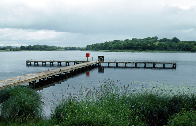
English: Galloon Island, Upper Lough Erne This jetty is on the eastern shore of Galloon Island. |
| Date | |
| Source | From geograph.org.uk |
| Author | Stephen McKay |
| Camera location | | View this and other nearby images on: OpenStreetMap |
|---|
Licensing

|
This image was taken from the Geograph project collection. See this photograph's page on the Geograph website for the photographer's contact details. The copyright on this image is owned by Stephen McKay and is licensed for reuse under the Creative Commons Attribution-ShareAlike 2.0 license.
|
This file is licensed under the Creative Commons Attribution-Share Alike 2.0 Generic license.
Attribution: Stephen McKay
- You are free:
- to share – to copy, distribute and transmit the work
- to remix – to adapt the work
- Under the following conditions:
- attribution – You must give appropriate credit, provide a link to the license, and indicate if changes were made. You may do so in any reasonable manner, but not in any way that suggests the licensor endorses you or your use.
- share alike – If you remix, transform, or build upon the material, you must distribute your contributions under the same or compatible license as the original.
File history
Click on a date/time to view the file as it appeared at that time.
| Date/Time | Thumbnail | Dimensions | User | Comment | |
|---|---|---|---|---|---|
| current | 09:37, 17 January 2007 | | 640 × 411 (97 KB) | Kanchelskis | H3922 : Galloon Island, Upper Lough Erne 6 km from Drumsloe, Monaghan, Ireland Grid Square H3922 (find images nearby) Photographer Stephen McKay (find more nearby) Image status First geograph for H3922 Date Taken June 2004 Submitte |
File usage
The following file is a duplicate of this file (more details):
- File:Upper lough erne.jpg from a shared repository
The following page links to this file: