File:The River Tay and Friarton bridge.jpg
From Wikishire
No higher resolution available.
The_River_Tay_and_Friarton_bridge.jpg (640 × 480 pixels, file size: 123 KB, MIME type: image/jpeg)
Summary
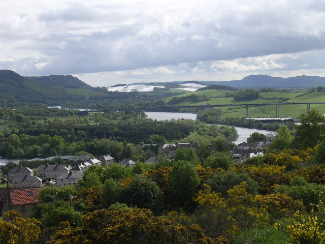
| Description | The River Tay and Friarton bridge. The view is taken from Craigie Hill to the south of Perth looking east along the valley of the Tay. |
| Date | |
| Source | https://www.geograph.org.uk/photo/12097 |
| Author | Val Vannet |
| Permission (Reusing this file) |
Licensed for reuse under CC-BY-SA-2.0 |
| Object location | | View this and other nearby images on: OpenStreetMap |
|---|
_region:GB-GBN_&language=en)
Licensing

|
This image was taken from the Geograph project collection. See this photograph's page on the Geograph website for the photographer's contact details. The copyright on this image is owned by Val Vannet and is licensed for reuse under the Creative Commons Attribution-ShareAlike 2.0 license.
|
This file is licensed under the Creative Commons Attribution-Share Alike 2.0 Generic license.
Attribution: Val Vannet
- You are free:
- to share – to copy, distribute and transmit the work
- to remix – to adapt the work
- Under the following conditions:
- attribution – You must give appropriate credit, provide a link to the license, and indicate if changes were made. You may do so in any reasonable manner, but not in any way that suggests the licensor endorses you or your use.
- share alike – If you remix, transform, or build upon the material, you must distribute your contributions under the same or compatible license as the original.
Original upload log
From en.wikipedia:
- 08:30, June 19, 2005 . . Erath 640×480 (125,585 bytes) (Copyright, Val Vannet. Taken 23 May 2005; found at http://www.geograph.co.uk/photo/12097 {{Cc-by-2.0}} )
File history
Click on a date/time to view the file as it appeared at that time.
| Date/Time | Thumbnail | Dimensions | User | Comment | |
|---|---|---|---|---|---|
| current | 15:06, 6 June 2007 | | 640 × 480 (123 KB) | Kjetil r | {{Information |Description=The River Tay and Friarton bridge. The view is taken from Craigie Hill to the south of Perth looking east along the valley of the Tay. |Source=http://www.geograph.org.uk/photo/12097 |Date=Monday, 23 May, 2005 |Author=[http://www |
File usage
The following file is a duplicate of this file (more details):
- File:The River Tay and Friarton bridge.jpg from a shared repository
The following page links to this file: