File:TheWeir.jpg
From Wikishire
Size of this preview: 399 × 599 pixels. Other resolution: 160 × 240 pixels.
Original file (426 × 640 pixels, file size: 130 KB, MIME type: image/jpeg)
| Description |
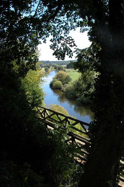
English: The Weir Gardens and the River Wye. The gardens are now in the care of the National Trust. |
||
| Date | |||
| Source | geograph | ||
| Author | Philip Halling | ||
| Permission (Reusing this file) |
This file is licensed under the Creative Commons Attribution-Share Alike 2.0 Generic license. Attribution: Philip Halling
|

| Camera location | | View this and other nearby images on: OpenStreetMap |
|---|
_heading:135.00&language=en)
| Object location | | View this and other nearby images on: OpenStreetMap |
|---|
_heading:135.00&language=en)
File history
Click on a date/time to view the file as it appeared at that time.
| Date/Time | Thumbnail | Dimensions | User | Comment | |
|---|---|---|---|---|---|
| current | 10:18, 21 March 2009 | | 426 × 640 (130 KB) | Cavrdg | {{Information |Description={{en|1=The Weir Gardens and the River Wye. The gardens are now in the care of the National Trust.}} |Source=geograph |Author=Philip Halling |Date=2005-08-29 |Permission={{geograph|45949|Philip Halling}} |other_versions= }} <!- |
File usage
The following file is a duplicate of this file (more details):
- File:TheWeir.jpg from a shared repository
The following page links to this file: