File:Stukeley Leicester Map 1722.jpg
Jump to navigation
Jump to search

Size of this preview: 397 × 599 pixels. Other resolutions: 159 × 240 pixels | 318 × 480 pixels | 509 × 768 pixels | 679 × 1,024 pixels | 2,059 × 3,105 pixels.
Original file (2,059 × 3,105 pixels, file size: 1.21 MB, MIME type: image/jpeg)
File history
Click on a date/time to view the file as it appeared at that time.
| Date/Time | Thumbnail | Dimensions | User | Comment | |
|---|---|---|---|---|---|
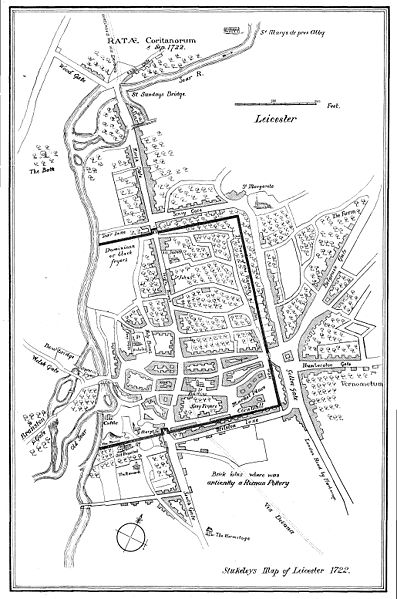
| current | 09:11, 23 November 2009 |  | 2,059 × 3,105 (1.21 MB) | shared>NotFromUtrecht | {{Information |Description= {{en|en:John Stukeley's map of en:Leicester in 1722}} |Source=Drawn 1722, reprinted in ''Glimpses of Ancient Leicester'' (1906) by Mrs T. Fielding Johnson. |Date=1722 |Author=John Stukeley |Permission= |other_versio |
File usage
The following page uses this file:
