File:Strathoykel at Tuiteam Tarbhach.jpg
From Wikishire
Size of this preview: 800 × 598 pixels. Other resolution: 320 × 239 pixels.
Original file (2,866 × 2,144 pixels, file size: 2.66 MB, MIME type: image/jpeg)
Summary
| Description |
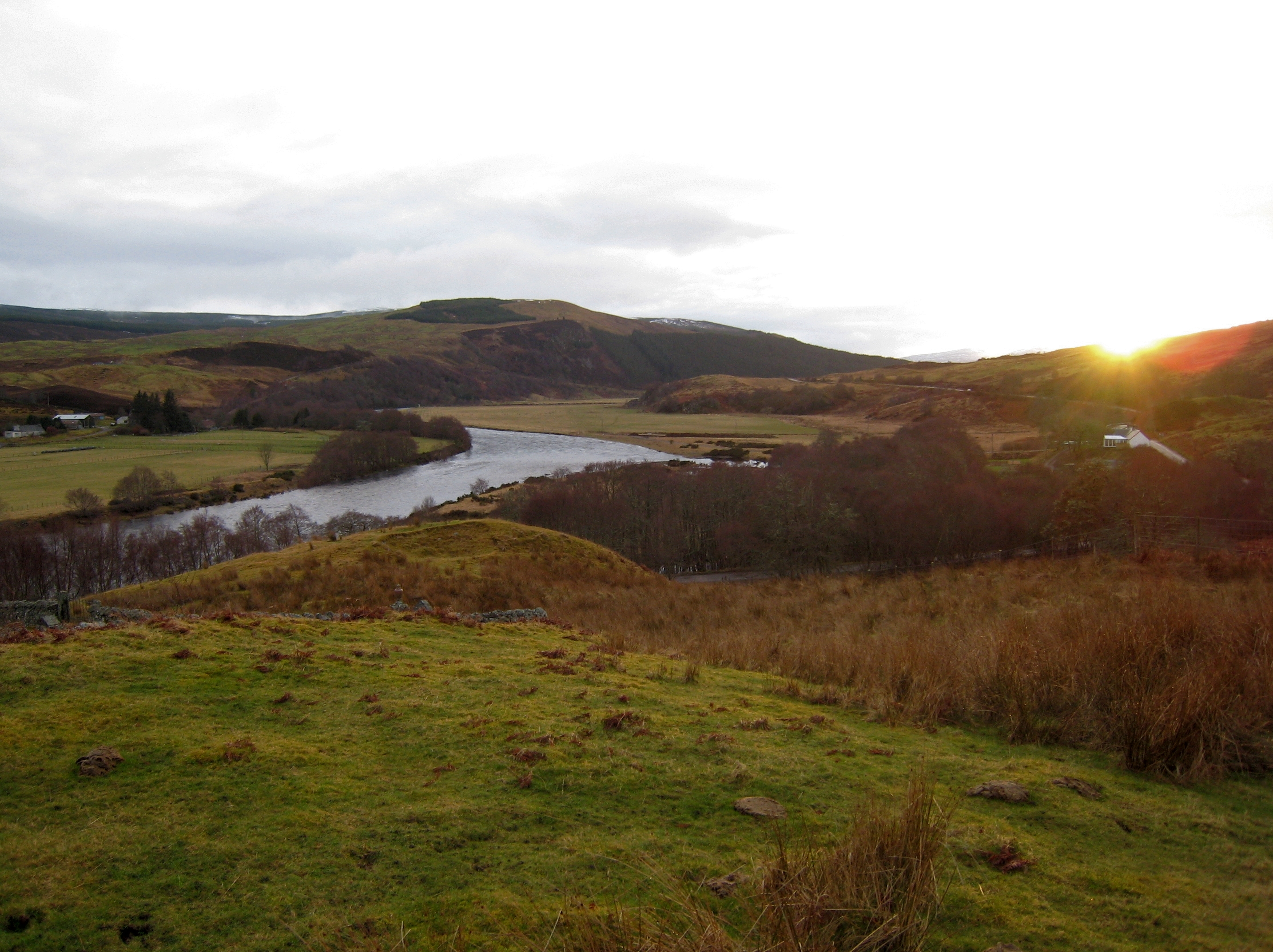
English: View of Strathoykel in northern Scotland looking west (upstream) from Tutim cemetery at sunset. The cemetery wall is in the foreground, Brae farm on the left of the photo, and Tuiteam house on the right. The mouth of the Tutim Burn can be seen entering the River Oykel roughly level with Tuiteam house. The hill is Ben Chreagach. The site is notable for the en:Battle of Tuiteam Tarbhach which took place around Tuiteam house in about 1406. |
| Date | |
| Source | Own work |
| Author | Le Deluge |
| Camera location | | View this and other nearby images on: OpenStreetMap |
|---|
Licensing
I, the copyright holder of this work, hereby publish it under the following license:
This file is licensed under the Creative Commons Attribution-Share Alike 3.0 Unported license.
- You are free:
- to share – to copy, distribute and transmit the work
- to remix – to adapt the work
- Under the following conditions:
- attribution – You must give appropriate credit, provide a link to the license, and indicate if changes were made. You may do so in any reasonable manner, but not in any way that suggests the licensor endorses you or your use.
- share alike – If you remix, transform, or build upon the material, you must distribute your contributions under the same or compatible license as the original.
File history
Click on a date/time to view the file as it appeared at that time.
| Date/Time | Thumbnail | Dimensions | User | Comment | |
|---|---|---|---|---|---|
| current | 03:31, 15 March 2009 | | 2,866 × 2,144 (2.66 MB) | Le Deluge | {{Information |Description={{en|1=View of Strathoykel in northern Scotland looking west (upstream) from Tutim cemetery at sunset. The cemetery wall is in the foreground, Brae farm on the left of the photo, and Tuiteam house on the right. The mouth of the |
File usage
The following file is a duplicate of this file (more details):
- File:Strathoykel at Tuiteam Tarbhach.jpg from a shared repository
The following page links to this file: