File:St Mary's Isles of Scilly UK parish locator map.png
From Wikishire
Size of this preview: 600 × 600 pixels. Other resolution: 240 × 240 pixels.
Original file (3,000 × 3,000 pixels, file size: 78 KB, MIME type: image/png)
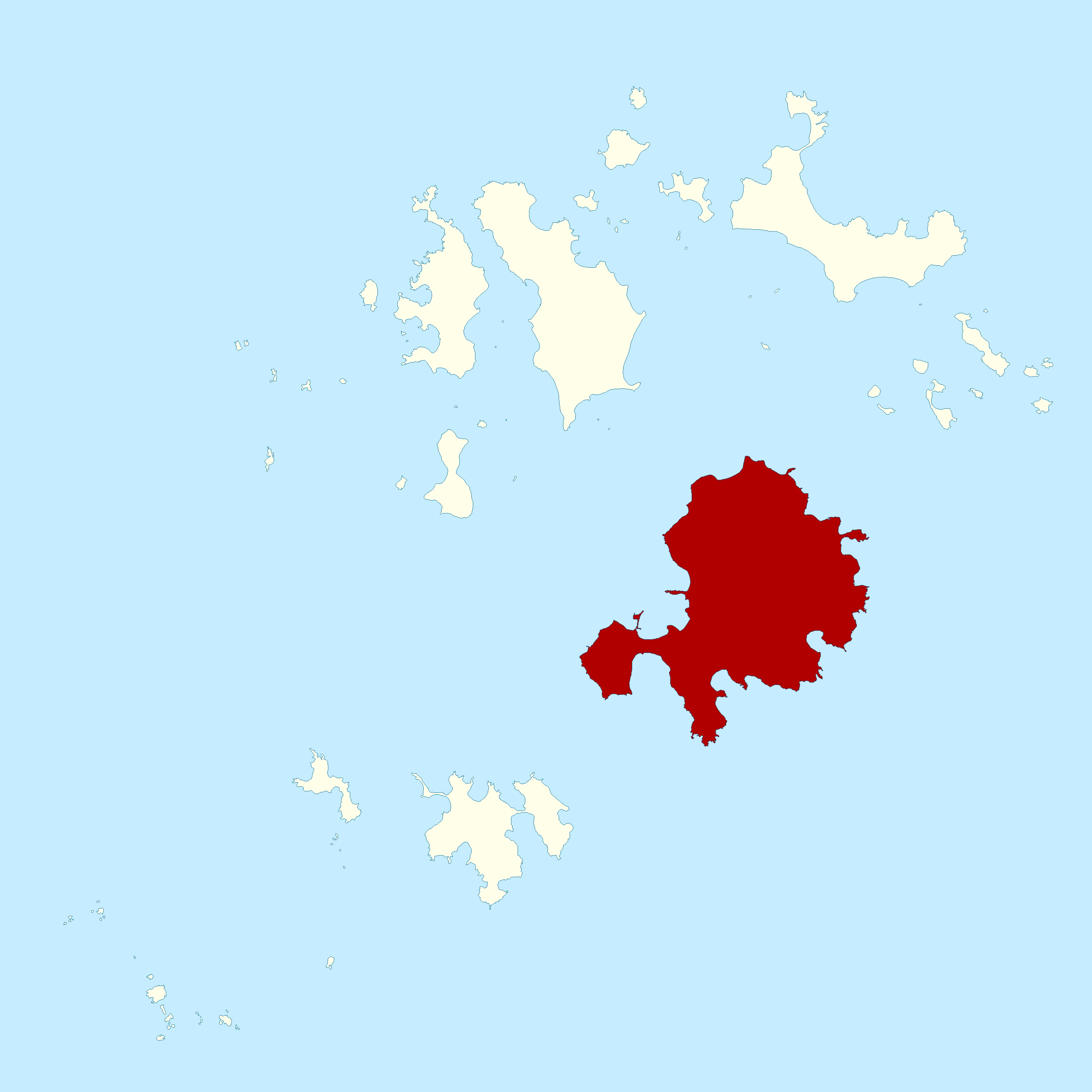
| Description | St Mary's parish, in the Isles of Scilly off Cornwall, UK. | ||||||
| Date | |||||||
| Source | Ordnance Survey OpenData, Boundary-Line product | ||||||
| Author | Ordnance Survey | ||||||
| Permission (Reusing this file) |
|
_(St_Edwards_Crown).svg)
File history
Click on a date/time to view the file as it appeared at that time.
| Date/Time | Thumbnail | Dimensions | User | Comment | |
|---|---|---|---|---|---|
| current | 22:02, 9 June 2010 | | 3,000 × 3,000 (78 KB) | Nilfanion | {{Information |Description=St Mary's parish, in the Isles of Scilly off Cornwall, UK. |Source=Ordnance Survey [https://www.ordnancesurvey.co.uk/opendatadownload/products.html OpenData], Boundary-Line product |Date=2010 |Author=Ordnance Survey |Permission= |
File usage
The following file is a duplicate of this file (more details):
- File:St Mary's Isles of Scilly UK parish locator map.png from a shared repository
The following page links to this file: