File:South Georgia SSI.PNG
From Wikishire
No higher resolution available.
South_Georgia_SSI.PNG (613 × 504 pixels, file size: 37 KB, MIME type: image/png)
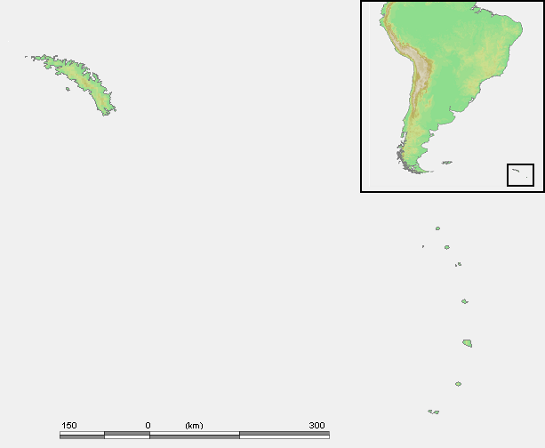
| Description | Location of South Georgia and the South Sandwich Islands - blank map | ||||
| Date | |||||
| Source | own work based on PD map | ||||
| Author | edited by User:Telim tor | ||||
| Permission (Reusing this file) |
|
File history
Click on a date/time to view the file as it appeared at that time.
| Date/Time | Thumbnail | Dimensions | User | Comment | |
|---|---|---|---|---|---|
| current | 08:31, 9 April 2009 | | 613 × 504 (37 KB) | Telim tor | {{Information |Description=Location of South Georgia and the South Sandwich Islands - blank map |Source=own work based on PD map |Date=2009-04-09 |Author=edited by User:Telim tor |Permission={{PD-Demis}} |other_versions= }} [[Category:Maps of South G |
File usage
The following file is a duplicate of this file (more details):
- File:South Georgia SSI.PNG from a shared repository
There are no pages that link to this file.