File:Sitlington - National Mining Museum at Caphouse Colliery.jpg
From Wikishire
Size of this preview: 800 × 593 pixels. Other resolution: 320 × 237 pixels.
Original file (2,666 × 1,976 pixels, file size: 1,015 KB, MIME type: image/jpeg)
Summary
| Description |
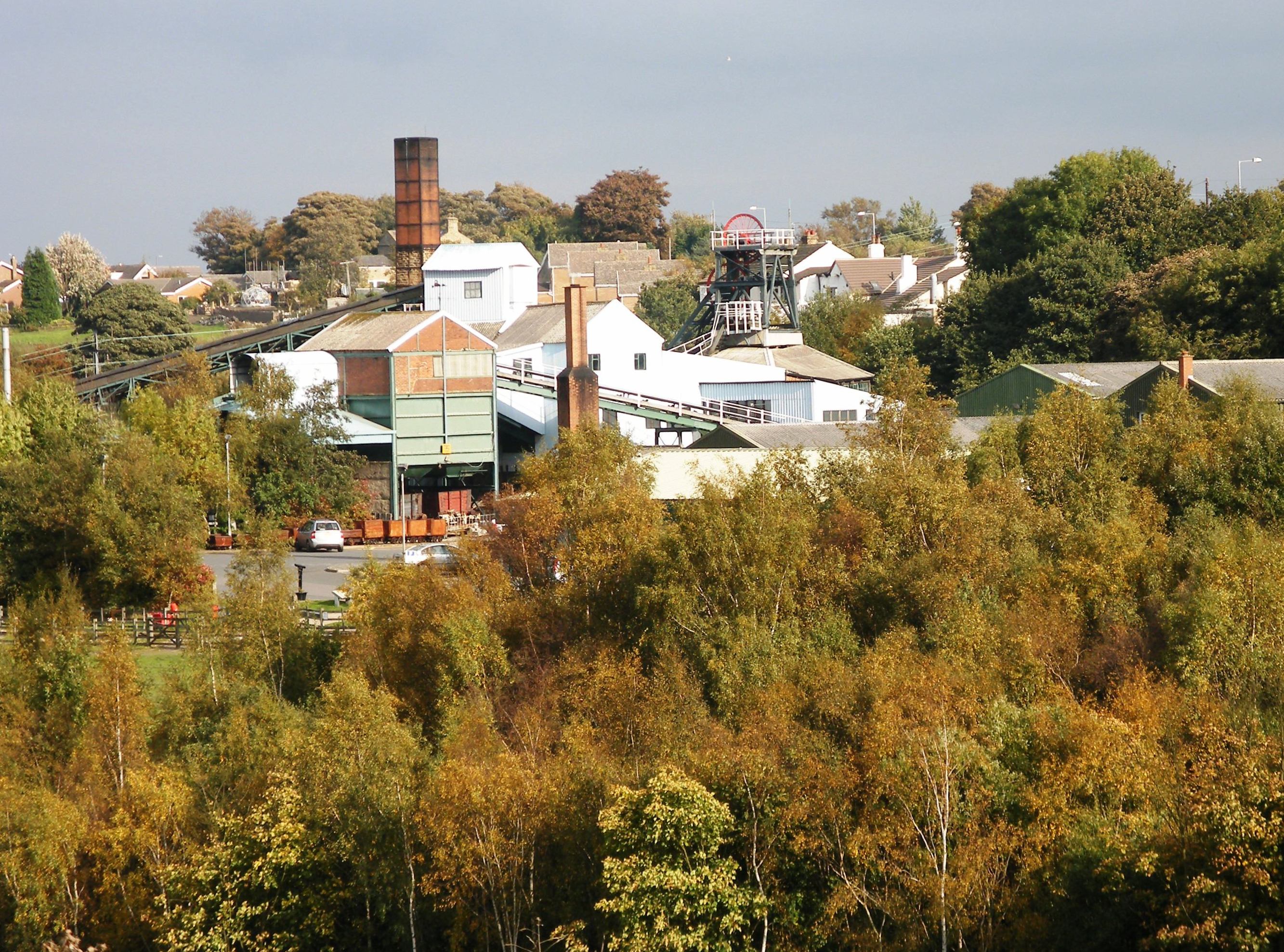
English: Caphouse Colliery (Overton Colliery) in Overton, near Wakefield, West Yorkshire, England |
| Date | (UTC) |
| Source | Own work (Original text: I (J3Mrs (talk)) created this work entirely by myself.) |
| Author | J3Mrs (talk) |
| Camera location | | View this and other nearby images on: OpenStreetMap |
|---|
Licensing
J3Mrs at English Wikipedia, the copyright holder of this work, hereby publishes it under the following license:
This file is licensed under the Creative Commons Attribution-Share Alike 3.0 Unported license.
Attribution: J3Mrs at English Wikipedia
- You are free:
- to share – to copy, distribute and transmit the work
- to remix – to adapt the work
- Under the following conditions:
- attribution – You must give appropriate credit, provide a link to the license, and indicate if changes were made. You may do so in any reasonable manner, but not in any way that suggests the licensor endorses you or your use.
- share alike – If you remix, transform, or build upon the material, you must distribute your contributions under the same or compatible license as the original.
Original upload log
Transferred from en.wikipedia to Commons by NotFromUtrecht using CommonsHelper.
The original description page was here. All following user names refer to en.wikipedia.
- 2011-04-28 12:50 J3Mrs 2666×1976× (1039013 bytes) {{Information |Description = |Source = I (~~~) created this work entirely by myself. |Date = ~~~~~ |Author = ~~~ |other_versions = }}
File history
Click on a date/time to view the file as it appeared at that time.
| Date/Time | Thumbnail | Dimensions | User | Comment | |
|---|---|---|---|---|---|
| current | 08:46, 25 July 2011 | | 2,666 × 1,976 (1,015 KB) | Túrelio | copied over from http://commons.wikimedia.org/wiki/File:Caphouse_Colliery.JPG |
File usage
The following file is a duplicate of this file (more details):
- File:Sitlington - National Mining Museum at Caphouse Colliery.jpg from a shared repository
The following page links to this file: