File:Railway Viaduct from Staden Low.jpg
From Wikishire
Size of this preview: 800 × 449 pixels. Other resolution: 320 × 180 pixels.
Original file (1,196 × 672 pixels, file size: 277 KB, MIME type: image/jpeg)
Summary
| Description |
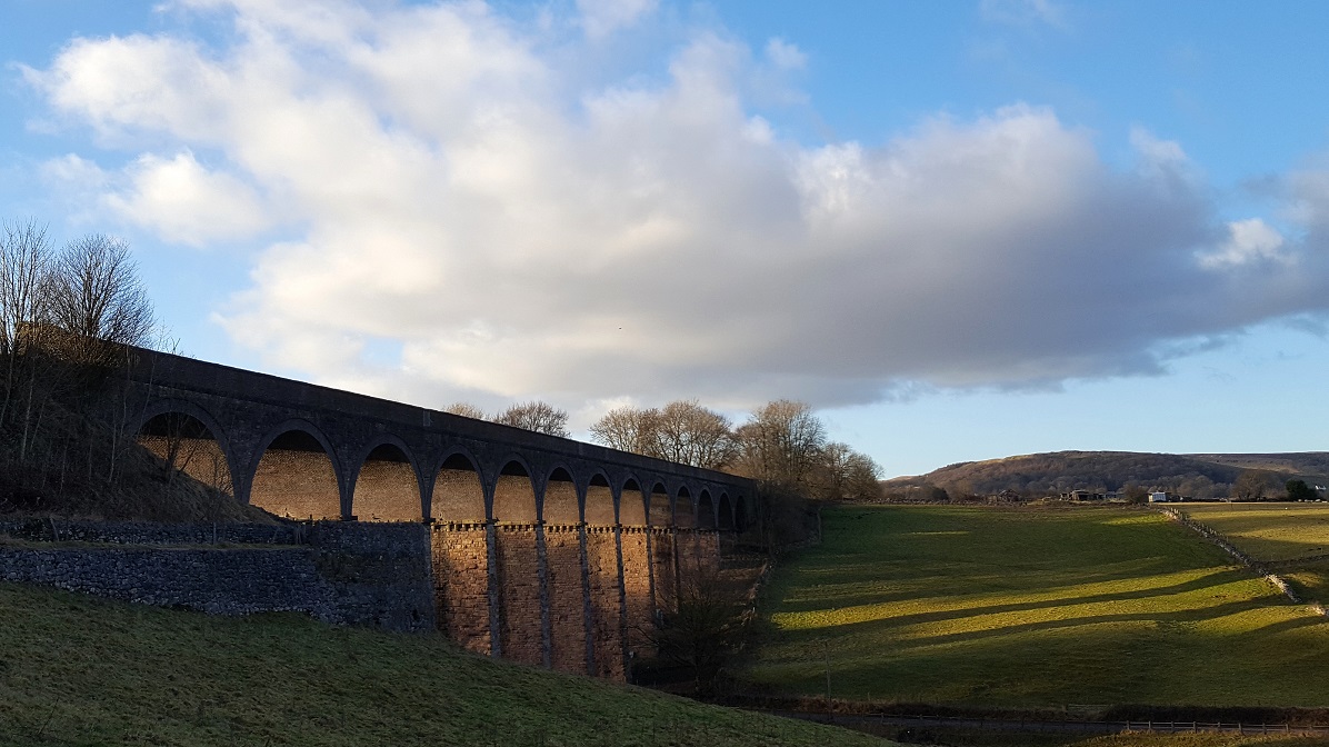
English: Railway Viaduct from Staden Low near Buxton |
| Date | |
| Source | Own work |
| Author | Douglal |
| Camera location | | View this and other nearby images on: OpenStreetMap |
|---|
Licensing
I, the copyright holder of this work, hereby publish it under the following license:
This file is licensed under the Creative Commons Attribution-Share Alike 4.0 International license.
- You are free:
- to share – to copy, distribute and transmit the work
- to remix – to adapt the work
- Under the following conditions:
- attribution – You must give appropriate credit, provide a link to the license, and indicate if changes were made. You may do so in any reasonable manner, but not in any way that suggests the licensor endorses you or your use.
- share alike – If you remix, transform, or build upon the material, you must distribute your contributions under the same or compatible license as the original.
File history
Click on a date/time to view the file as it appeared at that time.
| Date/Time | Thumbnail | Dimensions | User | Comment | |
|---|---|---|---|---|---|
| current | 17:45, 4 June 2020 | | 1,196 × 672 (277 KB) | Douglal | Cross-wiki upload from en.wikipedia.org |
File usage
The following file is a duplicate of this file (more details):
- File:Railway Viaduct from Staden Low.jpg from a shared repository
The following page links to this file: