File:Point Western Isles NASA World Wind.png
From Wikishire
Size of this preview: 800 × 541 pixels. Other resolution: 320 × 216 pixels.
Original file (1,024 × 692 pixels, file size: 968 KB, MIME type: image/png)
Summary
| Description |
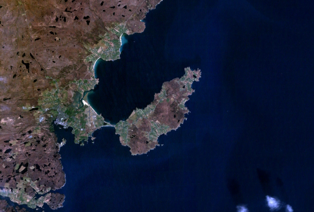
English: Satellite image of the district of Point on the Isle of Lewis, Scotland. |
| Date | 25 December 2006 (upload date) |
| Source | Satellite imagery taken from NASA World Wind software (by screenshot) |
| Author | NASA |
Licensing
| This image is in the public domain because it is a screenshot from NASA’s globe software World Wind using a public domain layer, such as Blue Marble, MODIS, Landsat, SRTM, USGS or GLOBE.
|
 |
File history
Click on a date/time to view the file as it appeared at that time.
| Date/Time | Thumbnail | Dimensions | User | Comment | |
|---|---|---|---|---|---|
| current | 12:19, 25 December 2006 | | 1,024 × 692 (968 KB) | JamesMorrison | Screengrab of the district of Point on the Isle of Lewis in Nasa World Wind |
File usage
The following file is a duplicate of this file (more details):
- File:Point Western Isles NASA World Wind.png from a shared repository
The following page links to this file: