File:Outcrop at north end of Betws Mountain - geograph.org.uk - 64603.jpg
From Wikishire
No higher resolution available.
Outcrop_at_north_end_of_Betws_Mountain_-_geograph.org.uk_-_64603.jpg (640 × 453 pixels, file size: 177 KB, MIME type: image/jpeg)
Summary
| Description |
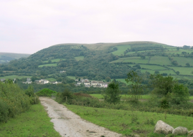
English: Outcrop at north end of Betws Mountain. This is the view southwest to where the mountain protrudes over Glanamman. On the horizon to the left is visible the gap that becomes Cwm Garenig. |
| Date | |
| Source | From geograph.org.uk |
| Author | Nigel Davies |
| Attribution (required by the license) | Nigel Davies / Outcrop at north end of Betws Mountain / |
| Camera location | | View this and other nearby images on: OpenStreetMap |
|---|
_&language=en)
Licensing

|
This image was taken from the Geograph project collection. See this photograph's page on the Geograph website for the photographer's contact details. The copyright on this image is owned by Nigel Davies and is licensed for reuse under the Creative Commons Attribution-ShareAlike 2.0 license.
|
This file is licensed under the Creative Commons Attribution-Share Alike 2.0 Generic license.
Attribution: Nigel Davies
- You are free:
- to share – to copy, distribute and transmit the work
- to remix – to adapt the work
- Under the following conditions:
- attribution – You must give appropriate credit, provide a link to the license, and indicate if changes were made. You may do so in any reasonable manner, but not in any way that suggests the licensor endorses you or your use.
- share alike – If you remix, transform, or build upon the material, you must distribute your contributions under the same or compatible license as the original.
File history
Click on a date/time to view the file as it appeared at that time.
| Date/Time | Thumbnail | Dimensions | User | Comment | |
|---|---|---|---|---|---|
| current | 17:40, 30 January 2010 | | 640 × 453 (177 KB) | GeographBot | == {{int:filedesc}} == {{Information |description={{en|1=Outcrop at north end of Betws Mountain. This is the view southwest to where the mountain protrudes over Glanamman. On the horizon to the left is visible the gap that becomes Cwm Garenig.}} |date=200 |
File usage
The following file is a duplicate of this file (more details):
- File:Outcrop at north end of Betws Mountain - geograph.org.uk - 64603.jpg from a shared repository
The following page links to this file: