File:Moll - The South Part of the Shire of Air.jpg
From Wikishire
Size of this preview: 782 × 600 pixels. Other resolution: 313 × 240 pixels.
Original file (2,098 × 1,609 pixels, file size: 1,016 KB, MIME type: image/jpeg)
Summary
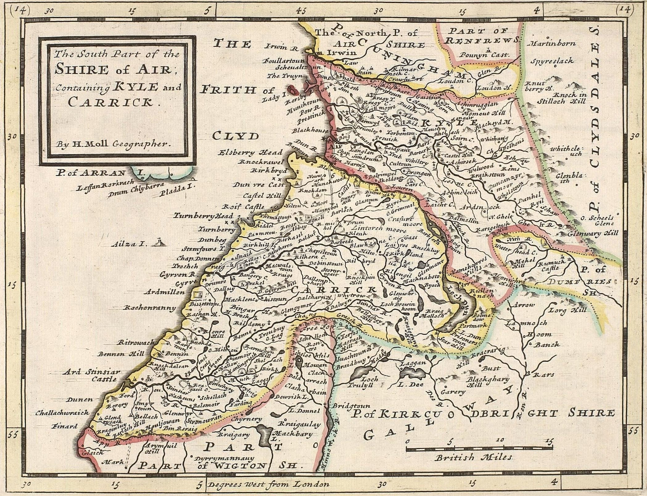
Herman Moll: The South Part of the Shire of Air; containing Kyle and Carrick, 1745
| Herman Moll
(1654–1732) |
|||
|---|---|---|---|
 |
|||
| Alternative names |
Moll, Hermann | ||
| Description | British cartographer, engraver and publisher | ||
| Date of birth/death | circa 1654 |
22 September 1732 | |
| Location of birth/death | Unknown place | London | |
| Work location | |||
| Authority file | |||
Licensing
|
This work is in the public domain in its country of origin and other countries and areas where the copyright term is the author's life plus 100 years or fewer. | |
| This file has been identified as being free of known restrictions under copyright law, including all related and neighboring rights. | |
File history
Click on a date/time to view the file as it appeared at that time.
| Date/Time | Thumbnail | Dimensions | User | Comment | |
|---|---|---|---|---|---|
| current | 07:08, 15 September 2005 | | 2,098 × 1,609 (1,016 KB) | Frank Schulenburg | Herman Moll: ''The South Part of the Shire of Air; containing Kyle and Carrick'', 1745 {{Creator:Herman Moll}} Category:18th century maps |
File usage
The following file is a duplicate of this file (more details):
- File:Moll - The South Part of the Shire of Air.jpg from a shared repository
The following page links to this file: