File:Malin head5.JPG
From Wikishire

Size of this preview: 800 × 580 pixels. Other resolution: 320 × 232 pixels.
Original file (1,905 × 1,381 pixels, file size: 1.63 MB, MIME type: image/jpeg)
Summary
| Description |
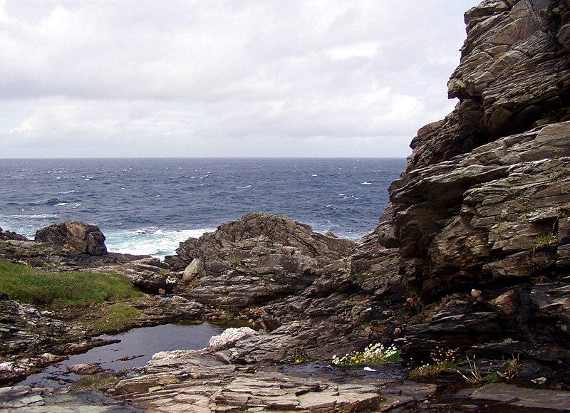
Čeština: Pohled na nejsevernější bod Irska v oblasti Malin Head, Irsko English: Picture of Malin Head, the most northerly headland of the mainland of Ireland |
||
| Date | see below metadata | ||
| Source | Own work | ||
| Author | Chmee2 or Mates | ||
| Permission (Reusing this file) |
I, the copyright holder of this work, hereby publish it under the following licenses:
This file is licensed under the Creative Commons Attribution-Share Alike 3.0 Unported, 2.5 Generic, 2.0 Generic and 1.0 Generic license.
You may select the license of your choice. |

| Camera location | | View this and other nearby images on: OpenStreetMap |
|---|
File history
Click on a date/time to view the file as it appeared at that time.
| Date/Time | Thumbnail | Dimensions | User | Comment | |
|---|---|---|---|---|---|
| current | 21:15, 15 October 2012 | | 1,905 × 1,381 (1.63 MB) | Chmee2 | wb and tilt correction |
File usage
The following file is a duplicate of this file (more details):
- File:Malin head5.JPG from a shared repository
The following page links to this file: