File:London Road Bridge over the River Ribble - geograph.org.uk - 151776.jpg
From Wikishire
No higher resolution available.
London_Road_Bridge_over_the_River_Ribble_-_geograph.org.uk_-_151776.jpg (640 × 480 pixels, file size: 105 KB, MIME type: image/jpeg)
Summary
| Description |
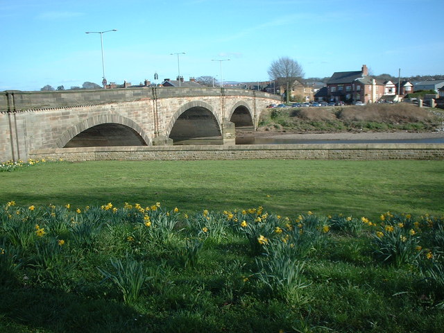
English: London Road Bridge over the River Ribble This bridge carries the A6 London Road over the River Ribble at Walton-le-Dale. As the name of the road suggests, it was once the main road to London from Preston. It is close to the place at which the Battle of Preston was fought in the English Civil War of August 1648: Oliver Cromwell's army won an important victory over the Royalists. The building to the right of the bridge is the Bridge Inn. |
| Date | |
| Source | From geograph.org.uk |
| Author | Peter |
| Attribution (required by the license) | Peter / London Road Bridge over the River Ribble / |
| Object location | | View this and other nearby images on: OpenStreetMap |
|---|
_heading:135.00&language=en)
Licensing

|
This image was taken from the Geograph project collection. See this photograph's page on the Geograph website for the photographer's contact details. The copyright on this image is owned by Peter and is licensed for reuse under the Creative Commons Attribution-ShareAlike 2.0 license.
|
This file is licensed under the Creative Commons Attribution-Share Alike 2.0 Generic license.
Attribution: Peter
- You are free:
- to share – to copy, distribute and transmit the work
- to remix – to adapt the work
- Under the following conditions:
- attribution – You must give appropriate credit, provide a link to the license, and indicate if changes were made. You may do so in any reasonable manner, but not in any way that suggests the licensor endorses you or your use.
- share alike – If you remix, transform, or build upon the material, you must distribute your contributions under the same or compatible license as the original.
- Remove redundant categories and try to put this image in the most specific category/categories
- Remove this template
- The location categories are based on information from this geonames tool and this OpenStreetMap tool combined with a database. You can also have a look at this tool from mysociety.
- The topic category from Geograph was Bridge (find similar images at Geograph)
File history
Click on a date/time to view the file as it appeared at that time.
| Date/Time | Thumbnail | Dimensions | User | Comment | |
|---|---|---|---|---|---|
| current | 09:14, 31 January 2010 | | 640 × 480 (105 KB) | GeographBot | == {{int:filedesc}} == {{Information |description={{en|1=London Road Bridge over the River Ribble This bridge carries the A6 London Road over the River Ribble at Walton-le-Dale. As the name of the road suggests, it was once the main road to London from P |
File usage
The following file is a duplicate of this file (more details):
- File:London Road Bridge over the River Ribble - geograph.org.uk - 151776.jpg from a shared repository
The following page links to this file: