File:Llangynidr Bridge with weight restriction - geograph.org.uk - 3734823.jpg
From Wikishire
No higher resolution available.
Llangynidr_Bridge_with_weight_restriction_-_geograph.org.uk_-_3734823.jpg (784 × 561 pixels, file size: 167 KB, MIME type: image/jpeg)
Summary
| Description |
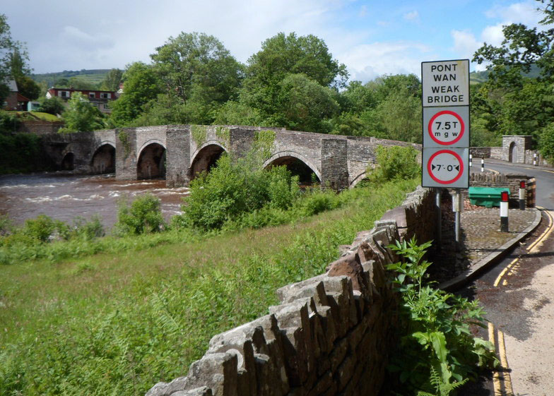
English: Llangynidr Bridge, Llangynidr near Crickhowell, Powys, Wales. A Grade I listed stone bridge across the River Usk. "Weak Bridge" sign in foreground.
|
||
| Date | |||
| Source |
This file was derived from: Weight and width restrictions across Llangynidr Bridge (geograph 3734823).jpg |
||
| Author | Jaggery, slightly cropped in size by User:Sionk. |
.jpg)
| Camera location | | View this and other nearby images on: OpenStreetMap |
|---|
Licensing
This file is licensed under the Creative Commons Attribution-Share Alike 3.0 Unported license.
- You are free:
- to share – to copy, distribute and transmit the work
- to remix – to adapt the work
- Under the following conditions:
- attribution – You must give appropriate credit, provide a link to the license, and indicate if changes were made. You may do so in any reasonable manner, but not in any way that suggests the licensor endorses you or your use.
- share alike – If you remix, transform, or build upon the material, you must distribute your contributions under the same or compatible license as the original.
Original upload log
Transferred from en.wikipedia to Commons using For the Common Good.
The original description page was here. All following user names refer to en.wikipedia.
| Date/Time | Dimensions | User | Comment |
|---|---|---|---|
| 01:02, 2 January 2015 | 784 × 561 (171,457 bytes) | w:en:Sionk (talk | contribs) | Uploading a file from a free published source using [[Wikipedia:File_Upload_Wizard|File Upload Wizard]] |
File history
Click on a date/time to view the file as it appeared at that time.
| Date/Time | Thumbnail | Dimensions | User | Comment | |
|---|---|---|---|---|---|
| current | 21:12, 4 August 2016 | | 784 × 561 (167 KB) | Kelly | Transferred from en.wikipedia: see original upload log above |
File usage
The following file is a duplicate of this file (more details):
- File:Llangynidr Bridge with weight restriction - geograph.org.uk - 3734823.jpg from a shared repository
The following page links to this file: