File:Littlemoor 373865 a54f837d.jpg
From Wikishire
No higher resolution available.
Littlemoor_373865_a54f837d.jpg (640 × 480 pixels, file size: 113 KB, MIME type: image/jpeg)
| Camera location | | View this and other nearby images on: OpenStreetMap |
|---|
| Object location | | View this and other nearby images on: OpenStreetMap |
|---|
_region:GB-ENG_heading:135.00&language=en)
| Description |
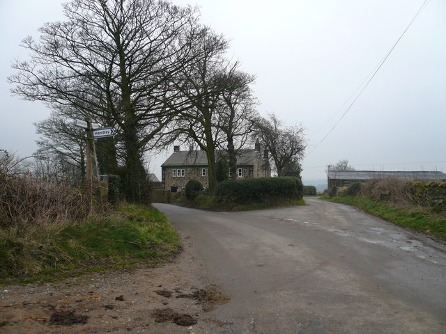
Littlemoor, Derbyshire. Old School House at Junction of Deerleap Lane and Woodhead Lane. OSGB36: geotagged! SK 367 631 [100m precision] WGS84: 53:9.8255N 1:27.0800W |
| Date | |
| Source | From geograph.org.uk |
| Author | Alan Heardman |
| Permission (Reusing this file) |
Creative Commons Attribution Share-alike license 2.0 |

|
This image was taken from the Geograph project collection. See this photograph's page on the Geograph website for the photographer's contact details. The copyright on this image is owned by Alan Heardman and is licensed for reuse under the Creative Commons Attribution-ShareAlike 2.0 license.
|
This file is licensed under the Creative Commons Attribution-Share Alike 2.0 Generic license.
Attribution: Alan Heardman
- You are free:
- to share – to copy, distribute and transmit the work
- to remix – to adapt the work
- Under the following conditions:
- attribution – You must give appropriate credit, provide a link to the license, and indicate if changes were made. You may do so in any reasonable manner, but not in any way that suggests the licensor endorses you or your use.
- share alike – If you remix, transform, or build upon the material, you must distribute your contributions under the same or compatible license as the original.
File history
Click on a date/time to view the file as it appeared at that time.
| Date/Time | Thumbnail | Dimensions | User | Comment | |
|---|---|---|---|---|---|
| current | 21:54, 9 May 2008 | | 640 × 480 (113 KB) | Victuallers | {{Information |Description=Littlemoor, Derbyshire. Old School House at Junction of Deerleap Lane and Woodhead Lane. OSGB36: geotagged! SK 367 631 [100m precision] WGS84: 53:9.8255N 1:27.0800W |Source=From [http://www.geograph. |
File usage
The following file is a duplicate of this file (more details):
- File:Littlemoor 373865 a54f837d.jpg from a shared repository
The following page links to this file: