File:Lathkill Head Cave.jpg
From Wikishire
Size of this preview: 800 × 600 pixels. Other resolution: 320 × 240 pixels.
Original file (4,000 × 3,000 pixels, file size: 2.01 MB, MIME type: image/jpeg)
Summary
| Description |
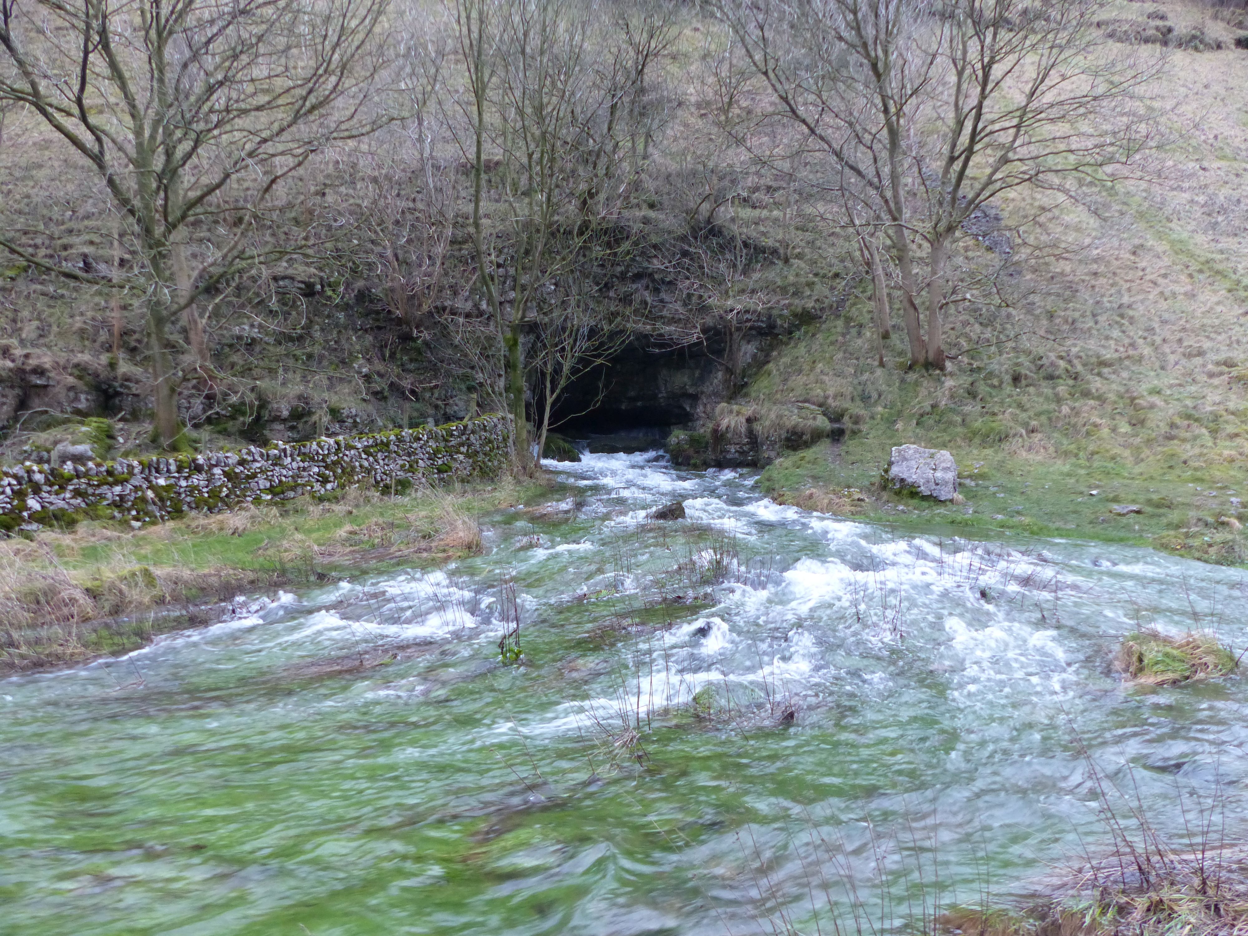
English: When the water table is high, this cave is the source of the River Lathkill. In drier periods, the cave is dry and the river rises from smaller springs further down the valley. |
| Date | |
| Source | Own work |
| Author | Dave.Dunford |
| Camera location | | View this and other nearby images on: OpenStreetMap |
|---|
Licensing
I, the copyright holder of this work, hereby publish it under the following license:
This file is licensed under the Creative Commons Attribution-Share Alike 4.0 International license.
- You are free:
- to share – to copy, distribute and transmit the work
- to remix – to adapt the work
- Under the following conditions:
- attribution – You must give appropriate credit, provide a link to the license, and indicate if changes were made. You may do so in any reasonable manner, but not in any way that suggests the licensor endorses you or your use.
- share alike – If you remix, transform, or build upon the material, you must distribute your contributions under the same or compatible license as the original.
File history
Click on a date/time to view the file as it appeared at that time.
| Date/Time | Thumbnail | Dimensions | User | Comment | |
|---|---|---|---|---|---|
| current | 20:41, 22 January 2018 | | 4,000 × 3,000 (2.01 MB) | Dave.Dunford | User created page with UploadWizard |
File usage
The following file is a duplicate of this file (more details):
- File:Lathkill Head Cave.jpg from a shared repository
The following 3 pages link to this file: