File:Kilclief Castle, Geograph.jpg
From Wikishire
No higher resolution available.
Kilclief_Castle,_Geograph.jpg (640 × 426 pixels, file size: 116 KB, MIME type: image/jpeg)
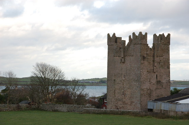
| Description | Kilclief Castle, a tower-house castle beside Strangford Lough and 2.5 miles (4km) south of the village of Strangford, County Down, Northern Ireland. | ||
| Date | |||
| Source | Geograph project | ||
| Author | Aubrey Dale | ||
| Permission (Reusing this file) |
This file is licensed under the Creative Commons Attribution-Share Alike 2.0 Generic license. Attribution: Aubrey Dale
|

| Object location | | View this and other nearby images on: OpenStreetMap |
|---|
_region:GB-NIR_heading:45.00&language=en)
File history
Click on a date/time to view the file as it appeared at that time.
| Date/Time | Thumbnail | Dimensions | User | Comment | |
|---|---|---|---|---|---|
| current | 13:11, 24 November 2006 | | 640 × 426 (116 KB) | GeeJo | {{Information| |Description = Kilclief Castle, a tower-house castle beside Strangford Lough and 2.5 miles (4km) south of the village of Strangford, County Down, Northern Ireland. |Source = [http://www.geograph.org.uk/photo/283291 G |
File usage
The following file is a duplicate of this file (more details):
- File:Kilclief Castle, Geograph.jpg from a shared repository
The following page links to this file: