File:Islay Inner Hebrides.svg
From Wikishire

Size of this preview: 271 × 598 pixels. Other resolution: 108 × 240 pixels.
Original file (SVG file, nominally 1,161 × 2,563 pixels, file size: 4.35 MB)
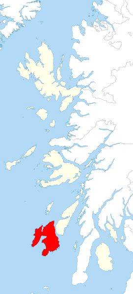
| Description | Locator map of Islay (Argyllshire) in the Inner Hebrides |
| Date | |
| Source | Inner Hebrides blank.svg |
| Author | Hogweard |
| Permission (Reusing this file) |
This file is licensed under the Creative Commons Attribution-Share Alike 3.0 Unported license. Attribution: Contains Ordnance Survey data © Crown copyright and database right
|
File history
Click on a date/time to view the file as it appeared at that time.
| Date/Time | Thumbnail | Dimensions | User | Comment | |
|---|---|---|---|---|---|
| current | 21:39, 16 November 2015 | | 1,161 × 2,563 (4.35 MB) | Hogweard | {{Information |Description=Locator map of Islay (Argyllshire) in the Inner Hebrides |Source=Inner Hebrides blank.svg |Date=2015-11-16 |Author=Hogweard |Permission={{cc-by-sa-3.0|1=Contains Ordnance S... |
File usage
The following file is a duplicate of this file (more details):
- File:Islay Inner Hebrides.svg from a shared repository
The following page links to this file: