File:Gas Street Basin towards Brindleyplace.jpg
From Wikishire
Size of this preview: 800 × 600 pixels. Other resolution: 320 × 240 pixels.
Original file (2,592 × 1,944 pixels, file size: 952 KB, MIME type: image/jpeg)
| Description |
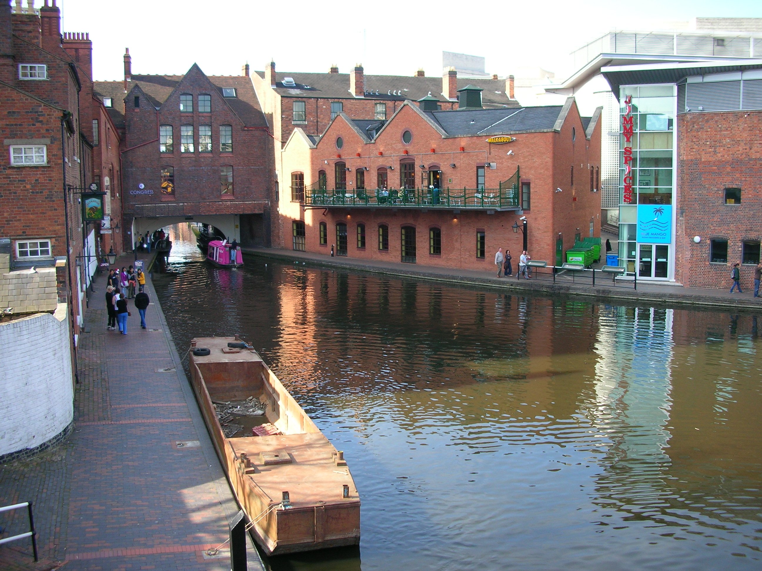
English: Gas Street Basin, central Birmingham, England. The start of the BCN Main Line. View looking towards Brindleyplace. The tunnel passes under an 1875 Martin & Chamberlain grade II listed building and then under Broad Street. Photographed by me 6 April 2007. Oosoom 23:08, 9 April 2007 (UTC) |
||
| Date | 9 April 2007 (original upload date) | ||
| Source | Transferred from en.wikipedia to Commons. | ||
| Author | Oosoom at English Wikipedia | ||
| Permission (Reusing this file) |
Oosoom at English Wikipedia, the copyright holder of this work, hereby publishes it under the following licenses:
This file is licensed under the Creative Commons Attribution-Share Alike 3.0 Unported license. Attribution: Oosoom at English Wikipedia
You may select the license of your choice. |

| Camera location | | View this and other nearby images on: OpenStreetMap |
|---|
Original upload log
The original description page was here. All following user names refer to en.wikipedia.
- 2007-04-09 22:55 Oosoom 2592×1944×8 (974353 bytes) [[Gas Street Basin]], central [[Birmingham]], England. The start of the [[ Birmingham Canal Navigations]]. View looking towards [[Brindleyplace]]. Photographed by me 6 April 2007.
File history
Click on a date/time to view the file as it appeared at that time.
| Date/Time | Thumbnail | Dimensions | User | Comment | |
|---|---|---|---|---|---|
| current | 09:41, 20 February 2008 | | 2,592 × 1,944 (952 KB) | Oosoom | {{Information |Description={{en|en:Gas Street Basin, central en:Birmingham, England. The start of the en:BCN Main Line. View looking towards en:Brindleyplace. The tunnel passes under an 1875 en:Martin & Chamberlain [[:en:grade II |
File usage
The following file is a duplicate of this file (more details):
- File:Gas Street Basin towards Brindleyplace.jpg from a shared repository
The following 2 pages link to this file: