File:Four shire stone.jpg
From Wikishire

Size of this preview: 365 × 599 pixels. Other resolution: 146 × 240 pixels.
Original file (1,300 × 2,135 pixels, file size: 804 KB, MIME type: image/jpeg)
Summary
| Description |
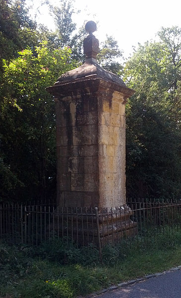
English: Photograph of the four-shire stone, at the meeting-point of Gloucestershire, Warwickshire, Oxfordshire, and formerly Worcestershire, in England. Taken on September 6th, 2013. |
| Date | |
| Source | Own work |
| Author | Maproom |
| Camera location | | View this and other nearby images on: OpenStreetMap |
|---|
Licensing
I, the copyright holder of this work, hereby publish it under the following licenses:
This file is licensed under the Creative Commons Attribution-Share Alike 3.0 Unported license.
- You are free:
- to share – to copy, distribute and transmit the work
- to remix – to adapt the work
- Under the following conditions:
- attribution – You must give appropriate credit, provide a link to the license, and indicate if changes were made. You may do so in any reasonable manner, but not in any way that suggests the licensor endorses you or your use.
- share alike – If you remix, transform, or build upon the material, you must distribute your contributions under the same or compatible license as the original.

|
Permission is granted to copy, distribute and/or modify this document under the terms of the GNU Free Documentation License, Version 1.2 or any later version published by the Free Software Foundation; with no Invariant Sections, no Front-Cover Texts, and no Back-Cover Texts. A copy of the license is included in the section entitled GNU Free Documentation License. |
You may select the license of your choice.
File history
Click on a date/time to view the file as it appeared at that time.
| Date/Time | Thumbnail | Dimensions | User | Comment | |
|---|---|---|---|---|---|
| current | 10:30, 6 September 2013 | | 1,300 × 2,135 (804 KB) | Maproom | Trimmed version. Shows whole monument, omits road sign. |
File usage
The following file is a duplicate of this file (more details):
- File:Four shire stone.jpg from a shared repository
The following page links to this file: