File:Footpath at Culbin Sands Nature Reserve - geograph.org.uk - 1344642.jpg
From Wikishire
No higher resolution available.
Footpath_at_Culbin_Sands_Nature_Reserve_-_geograph.org.uk_-_1344642.jpg (640 × 480 pixels, file size: 106 KB, MIME type: image/jpeg)
Summary
| Description |
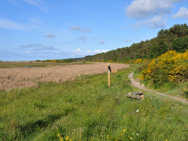
English: Footpath at Culbin Sands Nature Reserve Looking towards Culbin Forest. The signpost indicates the branch path leading to the car park at Kingsteps |
| Date | |
| Source | From geograph.org.uk |
| Author | Dr Richard Murray |
| Attribution (required by the license) | Dr Richard Murray / Footpath at Culbin Sands Nature Reserve / |
| Camera location | | View this and other nearby images on: OpenStreetMap |
|---|
_heading:67.00&language=en)
| Object location | | View this and other nearby images on: OpenStreetMap |
|---|
_heading:67.00&language=en)
Licensing

|
This image was taken from the Geograph project collection. See this photograph's page on the Geograph website for the photographer's contact details. The copyright on this image is owned by Dr Richard Murray and is licensed for reuse under the Creative Commons Attribution-ShareAlike 2.0 license.
|
This file is licensed under the Creative Commons Attribution-Share Alike 2.0 Generic license.
Attribution: Dr Richard Murray
- You are free:
- to share – to copy, distribute and transmit the work
- to remix – to adapt the work
- Under the following conditions:
- attribution – You must give appropriate credit, provide a link to the license, and indicate if changes were made. You may do so in any reasonable manner, but not in any way that suggests the licensor endorses you or your use.
- share alike – If you remix, transform, or build upon the material, you must distribute your contributions under the same or compatible license as the original.

|
The categories of this image need checking. You can do so here.
|
File history
Click on a date/time to view the file as it appeared at that time.
| Date/Time | Thumbnail | Dimensions | User | Comment | |
|---|---|---|---|---|---|
| current | 04:33, 28 February 2011 | | 640 × 480 (106 KB) | GeographBot | == {{int:filedesc}} == {{Information |description={{en|1=Footpath at Culbin Sands Nature Reserve Looking towards Culbin Forest. The signpost indicates the branch path leading to the car park at Kingsteps}} |date=2009-06-06 |source=From [http://www.geograp |
File usage
The following file is a duplicate of this file (more details):
- File:Footpath at Culbin Sands Nature Reserve - geograph.org.uk - 1344642.jpg from a shared repository
The following page links to this file: