File:Falkland Islands location detail.svg
From Wikishire

Size of this preview: 607 × 600 pixels. Other resolution: 243 × 240 pixels.
Original file (SVG file, nominally 1,559 × 1,541 pixels, file size: 6.74 MB)
Summary
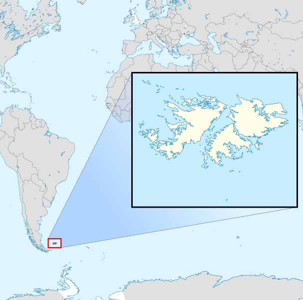
| Description | Map and location of the Falkland Islands | ||
| Date | |||
| Source | |||
| Author | Hogweard | ||
| Permission (Reusing this file) |
|
File history
Click on a date/time to view the file as it appeared at that time.
| Date/Time | Thumbnail | Dimensions | User | Comment | |
|---|---|---|---|---|---|
| current | 22:45, 5 April 2020 | | 1,559 × 1,541 (6.74 MB) | Hogweard | == {{int:filedesc}} == {{Information |description=Map and location of the Falkland Islands |date=2020-04-05 |source= *{{f|Falkland Islands in United Kingdom.svg}} *{{f|Falkland Islands - Lively Island.svg}} |author={{u|Hogweard}} |permission={{PD-self}} |other versions= }} Category:Locator maps of the Falkland Islands Category:SVG locator maps of Falkland Islands (location map scheme) |
File usage
The following file is a duplicate of this file (more details):
- File:Falkland Islands location detail.svg from a shared repository
The following page links to this file: