File:Europe location IRL.png
From Wikishire

Size of this preview: 800 × 600 pixels. Other resolution: 320 × 240 pixels.
Original file (1,600 × 1,200 pixels, file size: 712 KB, MIME type: image/png)
| Description | ||||
| Date | ||||
| Source | Own work | |||
| Author | User:David Liuzzo | |||
| Permission (Reusing this file) |
|

File history
Click on a date/time to view the file as it appeared at that time.
| Date/Time | Thumbnail | Dimensions | User | Comment | |
|---|---|---|---|---|---|
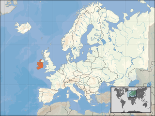
| current | 13:23, 1 January 2007 | | 1,600 × 1,200 (712 KB) | David Liuzzo | {{Europe location| |Staat=der Republik Irland |State=Ireland |Date=01.01.2007 |other_versions=See Category:Locator maps for EU countries }} |
File usage
The following file is a duplicate of this file (more details):
- File:Europe location IRL.png from a shared repository
The following page links to this file: