File:CockayneHatley.JPG
From Wikishire
Size of this preview: 800 × 600 pixels. Other resolution: 320 × 240 pixels.
Original file (1,280 × 960 pixels, file size: 447 KB, MIME type: image/jpeg)
Summary
| Description |
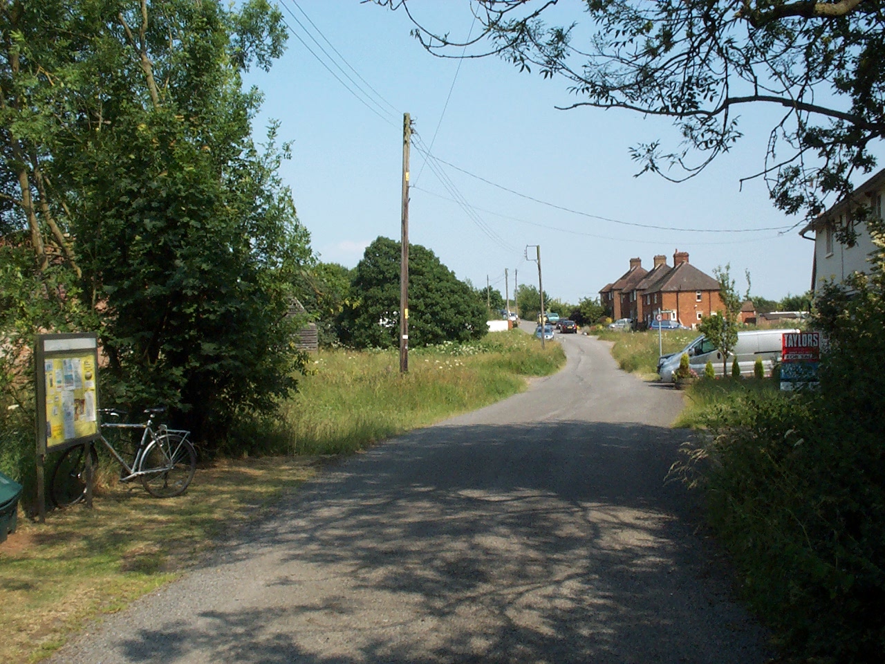
English: The single main road of Cockayne Hatley, towards the far end of the village. |
| Date | |
| Source | Own work |
| Author | Simon Speed |
| Camera location | | View this and other nearby images on: OpenStreetMap |
|---|
Licensing
| I, the copyright holder of this work, release this work into the public domain. This applies worldwide. In some countries this may not be legally possible; if so: I grant anyone the right to use this work for any purpose, without any conditions, unless such conditions are required by law. |
File history
Click on a date/time to view the file as it appeared at that time.
| Date/Time | Thumbnail | Dimensions | User | Comment | |
|---|---|---|---|---|---|
| current | 00:29, 27 June 2010 | | 1,280 × 960 (447 KB) | Simonxag | {{Information |Description={{en|1=The single main road of Cockayne Hatley, towards the far end of the village.}} |Source={{own}} |Author=Simon Speed |Date=2010-06-26 |Permission= |other_versions= }} Category:Cockayne Hatley |
File usage
The following file is a duplicate of this file (more details):
- File:CockayneHatley.JPG from a shared repository
The following page links to this file: