File:Clarence Island - South Shetland Islands.svg
From Wikishire

Size of this preview: 800 × 583 pixels. Other resolution: 320 × 233 pixels.
Original file (SVG file, nominally 1,106 × 806 pixels, file size: 341 KB)
Summary
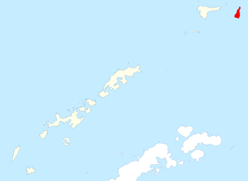
| Description | Clarence Island in the South Shetland Islands (British Antarctic Territory) |
| Date | |
| Source | Data from British Antarctic Survey Geodata Portal - Antarctic Digital Database |
| Author |
British Antarctic Survey
|
| Permission (Reusing this file) |
This file is licensed under the Creative Commons Attribution 4.0 International license. Attribution: Antarctic Digital Database
|
File history
Click on a date/time to view the file as it appeared at that time.
| Date/Time | Thumbnail | Dimensions | User | Comment | |
|---|---|---|---|---|---|
| current | 22:30, 18 May 2022 | | 1,106 × 806 (341 KB) | Hogweard | Better definition of map |
File usage
The following file is a duplicate of this file (more details):
- File:Clarence Island - South Shetland Islands.svg from a shared repository
The following page links to this file: