File:Chichester 1835 map.jpg
From Wikishire

Size of this preview: 685 × 600 pixels. Other resolution: 274 × 240 pixels.
Original file (1,587 × 1,389 pixels, file size: 1.07 MB, MIME type: image/jpeg)
Summary
| Description |
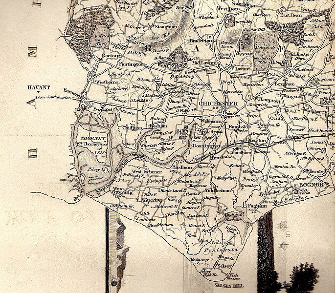
English: A map of south west Sussex published 1835 in The History, Antiquities and Topography of the County of Sussex by Thomas Walker Horsfield F.S.A. |
| Date | |
| Source | Own work |
| Author | Charlesdrakew |
Licensing
| I, the copyright holder of this work, release this work into the public domain. This applies worldwide. In some countries this may not be legally possible; if so: I grant anyone the right to use this work for any purpose, without any conditions, unless such conditions are required by law. |
File history
Click on a date/time to view the file as it appeared at that time.
| Date/Time | Thumbnail | Dimensions | User | Comment | |
|---|---|---|---|---|---|
| current | 20:07, 3 November 2009 | | 1,587 × 1,389 (1.07 MB) | Charlesdrakew | {{Information |Description={{en|1=A map of south west Sussex published 1835 in The History, Antiquities and Topography of the County of Sussex by Thomas Walker Horsefield F.S.A.}} |Source={{own}} |Author=Charlesdrakew |Date=2009-11- |
File usage
The following file is a duplicate of this file (more details):
- File:Chichester 1835 map.jpg from a shared repository
The following page links to this file: