File:Cedar of Lebanon, Forty Hall, Enfield - geograph.org.uk - 708717.jpg
From Wikishire
No higher resolution available.
Cedar_of_Lebanon,_Forty_Hall,_Enfield_-_geograph.org.uk_-_708717.jpg (640 × 487 pixels, file size: 126 KB, MIME type: image/jpeg)
Summary
| Description |
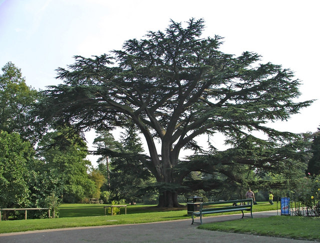
English: Cedar of Lebanon, Forty Hall, Enfield Large Cedar of Lebanon tree in Forty Hall grounds, which was planted in the mid-17th century. Unfortunately, one of the branches broke off a few months ago in a gale, but fortunately the tree was able to be saved. |
| Date | |
| Source | From geograph.org.uk |
| Author | Christine Matthews |
| Attribution (required by the license) | Christine Matthews / Cedar of Lebanon, Forty Hall, Enfield / |
| Camera location | | View this and other nearby images on: OpenStreetMap |
|---|
_heading:180.00&language=en)
| Object location | | View this and other nearby images on: OpenStreetMap |
|---|
_heading:180.00&language=en)
Licensing

|
This image was taken from the Geograph project collection. See this photograph's page on the Geograph website for the photographer's contact details. The copyright on this image is owned by Christine Matthews and is licensed for reuse under the Creative Commons Attribution-ShareAlike 2.0 license.
|
This file is licensed under the Creative Commons Attribution-Share Alike 2.0 Generic license.
Attribution: Christine Matthews
- You are free:
- to share – to copy, distribute and transmit the work
- to remix – to adapt the work
- Under the following conditions:
- attribution – You must give appropriate credit, provide a link to the license, and indicate if changes were made. You may do so in any reasonable manner, but not in any way that suggests the licensor endorses you or your use.
- share alike – If you remix, transform, or build upon the material, you must distribute your contributions under the same or compatible license as the original.
File history
Click on a date/time to view the file as it appeared at that time.
| Date/Time | Thumbnail | Dimensions | User | Comment | |
|---|---|---|---|---|---|
| current | 21:32, 18 February 2011 | | 640 × 487 (126 KB) | GeographBot | == {{int:filedesc}} == {{Information |description={{en|1=Cedar of Lebanon, Forty Hall, Enfield Large Cedar of Lebanon tree in Forty Hall grounds, which was planted in the mid-17th century. Unfortunately, one of the branches broke off a few months ago in |
File usage
The following file is a duplicate of this file (more details):
- File:Cedar of Lebanon, Forty Hall, Enfield - geograph.org.uk - 708717.jpg from a shared repository
The following page links to this file: