File:Cattle grid on road approaching Cardew Lodge.jpg
From Wikishire
No higher resolution available.
Cattle_grid_on_road_approaching_Cardew_Lodge.jpg (640 × 480 pixels, file size: 435 KB, MIME type: image/jpeg)
| Description |
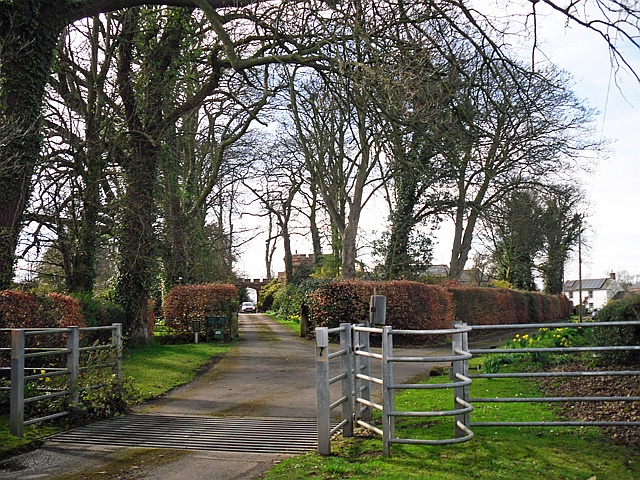
English: Cattle grid on road approaching Cardew Lodge |
||
| Date | |||
| Source | geograph.org.uk | ||
| Author | Rose and Trev Clough | ||
| Permission (Reusing this file) |
This file is licensed under the Creative Commons Attribution-Share Alike 2.0 Generic license. Attribution: Rose and Trev Clough
|
||
| Attribution (required by the license) | Rose and Trev Clough / Cattle grid on road approaching Cardew Lodge / | ||

| Camera location | | View this and other nearby images on: OpenStreetMap |
|---|
_heading:292.00&language=en)
| Object location | | View this and other nearby images on: OpenStreetMap |
|---|
_heading:292.00&language=en)
File history
Click on a date/time to view the file as it appeared at that time.
| Date/Time | Thumbnail | Dimensions | User | Comment | |
|---|---|---|---|---|---|
| current | 10:00, 3 August 2015 | | 640 × 480 (435 KB) | Dormskirk | {{Information |Description ={{en|1=Cattle grid on road approaching Cardew Lodge}} |Source =[http://www.geograph.org.uk/photo/4460886 geograph.org.uk] |Author =[http://www.geograph.org.uk/profile/14719 Rose and Trev Clough] |Date... |
File usage
The following file is a duplicate of this file (more details):
- File:Cattle grid on road approaching Cardew Lodge.jpg from a shared repository
The following page links to this file: