File:Carlingford Lough locator.jpg
From Wikishire
Size of this preview: 800 × 384 pixels. Other resolution: 320 × 153 pixels.
Original file (1,796 × 861 pixels, file size: 406 KB, MIME type: image/jpeg)
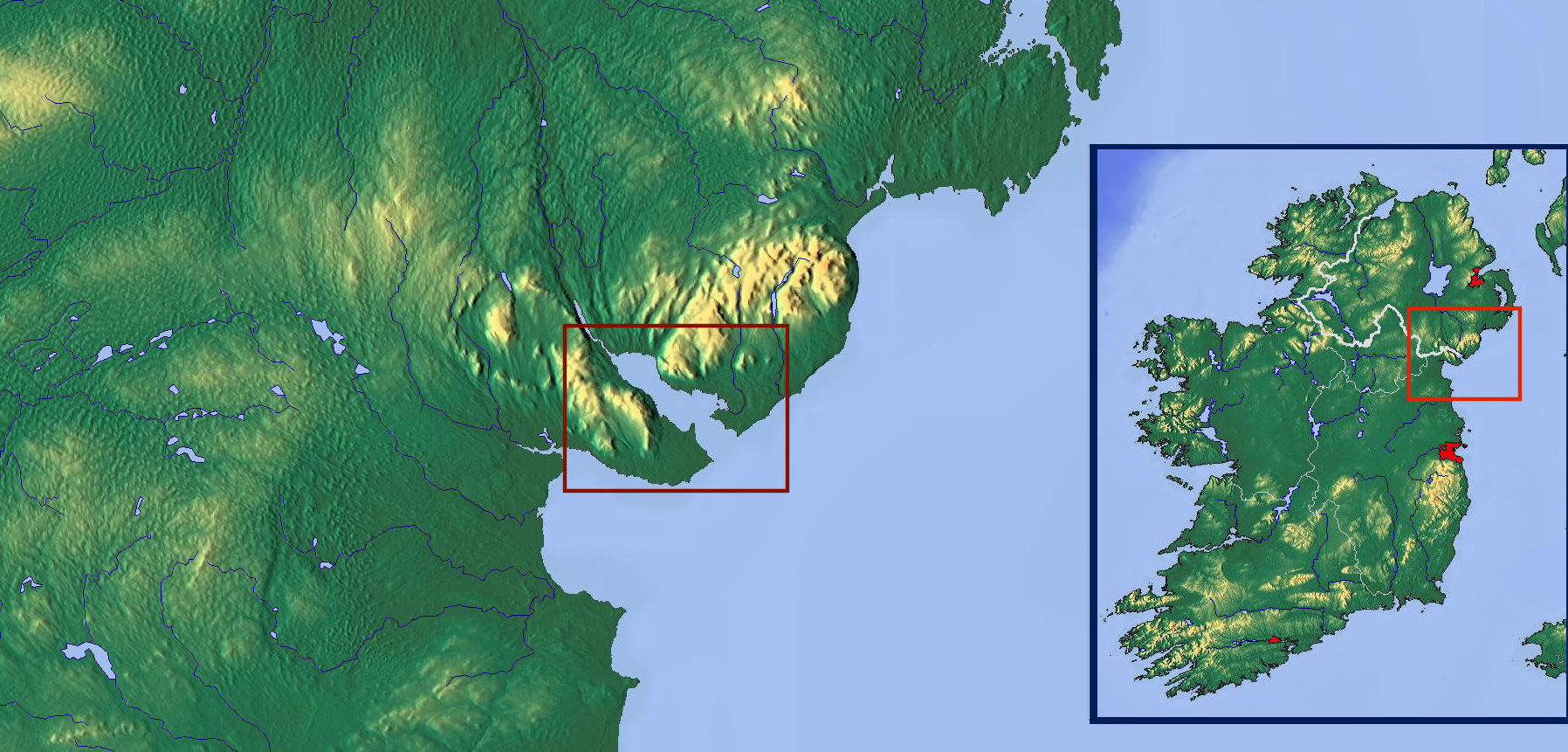
| Description | Map locating Carlingford Lough | |||
| Date | ||||
| Source |
|
|||
| Author | Hogweard | |||
| Permission (Reusing this file) |
|
File history
Click on a date/time to view the file as it appeared at that time.
| Date/Time | Thumbnail | Dimensions | User | Comment | |
|---|---|---|---|---|---|
| current | 22:52, 9 October 2017 | | 1,796 × 861 (406 KB) | Hogweard | {{Information |Description=Map locating Carlingford Lough |Source=*[http://www.maps-for-free.com Maps for Free] *{{own}} |Date=2017-10-09 |Author={{u|Hogweard}} |Permission=http://www.maps-for-free.com/html/about.html |other_versions= }} [[Category:Car... |
File usage
The following file is a duplicate of this file (more details):
- File:Carlingford Lough locator.jpg from a shared repository
The following page links to this file: