File:Carland Cross Wind Farm.jpg
From Wikishire
No higher resolution available.
Carland_Cross_Wind_Farm.jpg (626 × 462 pixels, file size: 185 KB, MIME type: image/jpeg)
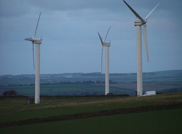
| Description | Carland Cross Wind Farm |
| Date | |
| Source |
This file was derived from: Carland Cross Wind Farm - geograph.org.uk - 88927.jpg |
| Author | Gwyn Jones |
| Permission (Reusing this file) |
Creative Commons Attribution Share-alike license 2.0 |
| Camera location | | View this and other nearby images on: OpenStreetMap |
|---|
This file is licensed under the Creative Commons Attribution-Share Alike 2.0 Generic license.
Attribution: Gwyn Jones
- You are free:
- to share – to copy, distribute and transmit the work
- to remix – to adapt the work
- Under the following conditions:
- attribution – You must give appropriate credit, provide a link to the license, and indicate if changes were made. You may do so in any reasonable manner, but not in any way that suggests the licensor endorses you or your use.
- share alike – If you remix, transform, or build upon the material, you must distribute your contributions under the same or compatible license as the original.
File history
Click on a date/time to view the file as it appeared at that time.
| Date/Time | Thumbnail | Dimensions | User | Comment | |
|---|---|---|---|---|---|
| current | 18:57, 26 March 2009 | | 626 × 462 (185 KB) | Adambro | fix tilt |
File usage
The following file is a duplicate of this file (more details):
- File:Carland Cross Wind Farm.jpg from a shared repository
The following page links to this file: