File:Burnaston 309925 28909fae.jpg
From Wikishire
No higher resolution available.
Burnaston_309925_28909fae.jpg (640 × 480 pixels, file size: 115 KB, MIME type: image/jpeg)
Summary
| Description |
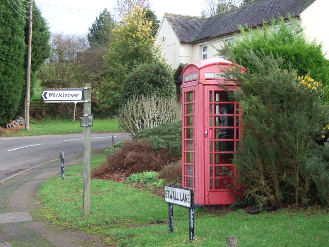
English: Burnaston phonebox The telephone at the T junction in Burnaston. |
| Date | |
| Source | From geograph.org.uk |
| Author | John Poyser |
| Camera location | | View this and other nearby images on: OpenStreetMap |
|---|
Licensing

|
This image was taken from the Geograph project collection. See this photograph's page on the Geograph website for the photographer's contact details. The copyright on this image is owned by John Poyser and is licensed for reuse under the Creative Commons Attribution-ShareAlike 2.0 license.
|
This file is licensed under the Creative Commons Attribution-Share Alike 2.0 Generic license.
Attribution: John Poyser
- You are free:
- to share – to copy, distribute and transmit the work
- to remix – to adapt the work
- Under the following conditions:
- attribution – You must give appropriate credit, provide a link to the license, and indicate if changes were made. You may do so in any reasonable manner, but not in any way that suggests the licensor endorses you or your use.
- share alike – If you remix, transform, or build upon the material, you must distribute your contributions under the same or compatible license as the original.
File history
Click on a date/time to view the file as it appeared at that time.
| Date/Time | Thumbnail | Dimensions | User | Comment | |
|---|---|---|---|---|---|
| current | 12:40, 22 February 2008 | | 640 × 480 (115 KB) | Victuallers | {{Information |Description=bridge carrying Oaksedge Lane over Bentley brook in Derbyshire as it enters the lower reservoir. OSGB36: SK 313 607External link [100m precision] WGS84: 53:8.5788N 1:31.9576W |Source=http://www.geograph.org.u |
File usage
The following file is a duplicate of this file (more details):
- File:Burnaston 309925 28909fae.jpg from a shared repository
The following page links to this file: