File:British Isles England.svg
From Wikishire

Size of this preview: 343 × 600 pixels. Other resolution: 137 × 240 pixels.
Original file (SVG file, nominally 675 × 1,180 pixels, file size: 150 KB)
Summary
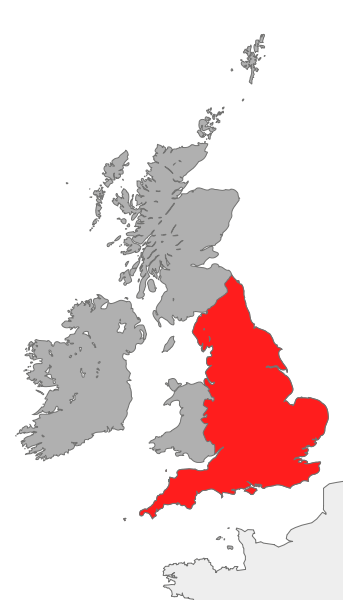
| Description | map showing the area of England in relation to Great Britain and Ireland |
| Date | |
| Source | Own work |
| Author | Cnbrb |
| SVG development |
Licensing
| I, the copyright holder of this work, release this work into the public domain. This applies worldwide. In some countries this may not be legally possible; if so: I grant anyone the right to use this work for any purpose, without any conditions, unless such conditions are required by law. |
File history
Click on a date/time to view the file as it appeared at that time.
| Date/Time | Thumbnail | Dimensions | User | Comment | |
|---|---|---|---|---|---|
| current | 18:39, 20 October 2007 | | 675 × 1,180 (150 KB) | Cnbrb | == Summary == {{Information |Description=map showing the area of England in relation to Great Britain and Ireland |Source=self-made |Date=2007-20-09 |Author= Cnbrb }} Category:Locator maps of countries of the United Kingdom [[Category: |
File usage
The following file is a duplicate of this file (more details):
- File:British Isles England.svg from a shared repository
The following page links to this file: