File:Bristol MMB «D0 Avon Gorge.jpg
From Wikishire
Size of this preview: 800 × 533 pixels. Other resolution: 320 × 213 pixels.
Original file (2,400 × 1,600 pixels, file size: 1.67 MB, MIME type: image/jpeg)
| Description |
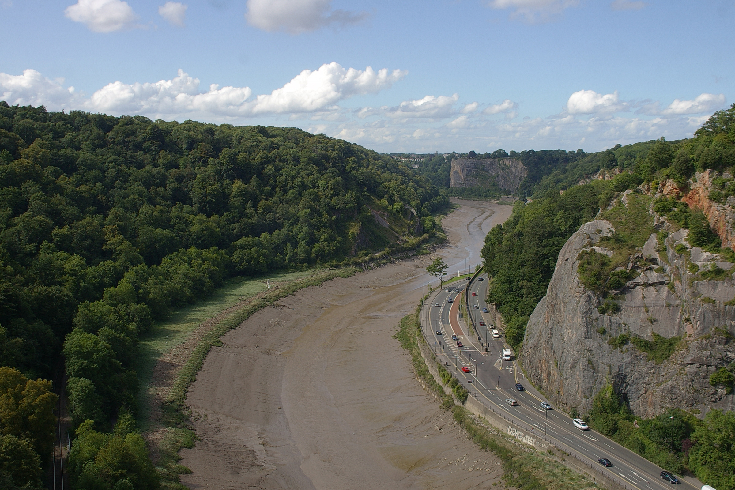
English: Looking towards Avonmouth from the Clifton Suspension Bridge. |
| Date | |
| Source | Own work by mattbuck. |
| Author | mattbuck (category) |
| Permission (Reusing this file) |
This file is licensed under the Creative Commons Attribution-Share Alike 2.0 Generic license.
This file is licensed under the Creative Commons Attribution-Share Alike 3.0 Unported license.
|
| Other versions | Uploaded to flickr. |
| Camera location | | View this and other nearby images on: OpenStreetMap |
|---|
File history
Click on a date/time to view the file as it appeared at that time.
| Date/Time | Thumbnail | Dimensions | User | Comment | |
|---|---|---|---|---|---|
| current | 13:52, 3 July 2012 | | 2,400 × 1,600 (1.67 MB) | File Upload Bot (Magnus Manske) | Transferred from Flickr by User:mattbuck using flickr2commons |
File usage
The following file is a duplicate of this file (more details):
- File:Bristol MMB «D0 Avon Gorge.jpg from a shared repository
The following page links to this file: