File:Brierley hill flats 2.jpg
From Wikishire

Size of this preview: 799 × 208 pixels. Other resolution: 320 × 83 pixels.
Original file (3,072 × 800 pixels, file size: 275 KB, MIME type: image/jpeg)
Summary
| Description |
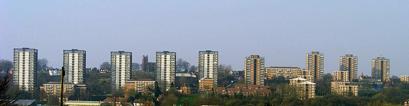
English: The en:Brierley Hill flats.
Cropped and reduced haze with curves tool in the GIMP. |
| Date | |
| Source | Self-photographed |
| Author | Rupert Millard |
| Other versions | File:Brierley hill flats.jpg |
| Camera location | | View this and other nearby images on: OpenStreetMap |
|---|
| Object location | | View this and other nearby images on: OpenStreetMap |
|---|
Licensing
| I, the copyright holder of this work, release this work into the public domain. This applies worldwide. In some countries this may not be legally possible; if so: I grant anyone the right to use this work for any purpose, without any conditions, unless such conditions are required by law. |
File history
Click on a date/time to view the file as it appeared at that time.
| Date/Time | Thumbnail | Dimensions | User | Comment | |
|---|---|---|---|---|---|
| current | 17:05, 18 March 2009 | 3,072 × 800 (275 KB) | RupertMillard | {{Information |Description={{en|1=The en:Brierley Hill flats. Cropped and reduced haze with curves tool in the GIMP.}} |Source=I took this photograph myself. |Author=Rupert Millard |Date=2009-03-18 |Permission= |other_versions=[[:Image:rierley hill f |
File usage
The following file is a duplicate of this file (more details):
- File:Brierley hill flats 2.jpg from a shared repository
The following page links to this file: