File:Bredon Fields Farm - geograph.org.uk - 52740.jpg
From Wikishire
No higher resolution available.
Bredon_Fields_Farm_-_geograph.org.uk_-_52740.jpg (640 × 426 pixels, file size: 118 KB, MIME type: image/jpeg)
| Description |
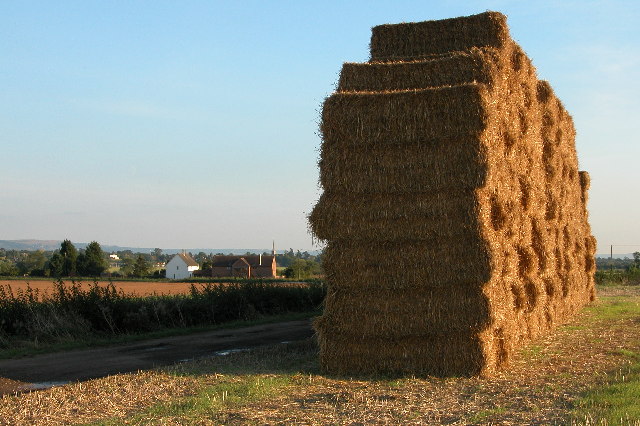
English: Bredon Fields Farm. Straw bales at Bredon Fields Farm, in the background are Bredon Fields Cottages. In the distance is the Spire of Bredon church and on the horizon the escarpment of the Cotswolds |
||
| Date | |||
| Source | From geograph.org.uk | ||
| Author | Philip Halling | ||
| Permission (Reusing this file) |
This file is licensed under the Creative Commons Attribution-Share Alike 2.0 Generic license. Attribution: Philip Halling
|
||
| Attribution (required by the license) | Philip Halling / Bredon Fields Farm / | ||

| Camera location | | View this and other nearby images on: OpenStreetMap |
|---|
_heading:157.00&language=en)
| Object location | | View this and other nearby images on: OpenStreetMap |
|---|
_heading:157.00&language=en)
File history
Click on a date/time to view the file as it appeared at that time.
| Date/Time | Thumbnail | Dimensions | User | Comment | |
|---|---|---|---|---|---|
| current | 13:20, 30 January 2010 | | 640 × 426 (118 KB) | GeographBot | == {{int:filedesc}} == {{Information |description={{en|1=Bredon Fields Farm. Straw bales at Bredon Fields Farm, in the background are Bredon Fields Cottages. In the distance is the Spire of Bredon church and on the horizon the escarpment of the Cotswolds |
File usage
The following file is a duplicate of this file (more details):
- File:Bredon Fields Farm - geograph.org.uk - 52740.jpg from a shared repository
The following page links to this file: